Transport Functions
Port
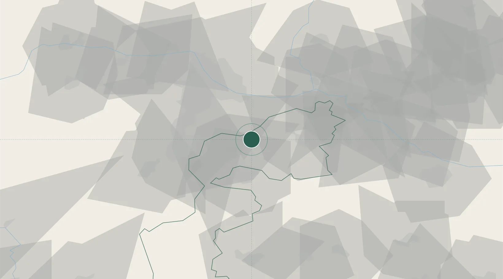
Hub Profile
Place type
District seat
Region
Burgenland
Population
1,810
Time zone
Europe/Vienna
Elevation
148 m
Location
Nearby Logistics Neighbours
Cities
- 1Schutzen am Gebirge6 km
- 2Mannersdorf am Leithagebirge8 km
- 3Oggau8 km
- 4Grosshöflein13 km
- 5Müllendorf14 km
Ports
- 1Bakar331 km
- 2Rijeka Luka331 km
- 3Monfalcone332 km
- 4Trieste333 km
- 5Muggia336 km
Airports
Trade Zones
- 1Veselí nad Moravou Industrial Zone130 km
- 2Černovická Terasa Industrial Zone142 km
- 3Holešov Industrial Zone172 km
- 4Sjever Free Zone180 km
- 5Göd Special Economic Zone191 km
DatabookThe Record of Consolidated Knowledge
Austria beyond logistics?