Transport Functions
Rail
Road
Hub Profile
Place type
District seat
Region
Upper Austria
Population
223
Time zone
Europe/Vienna
Elevation
562 m
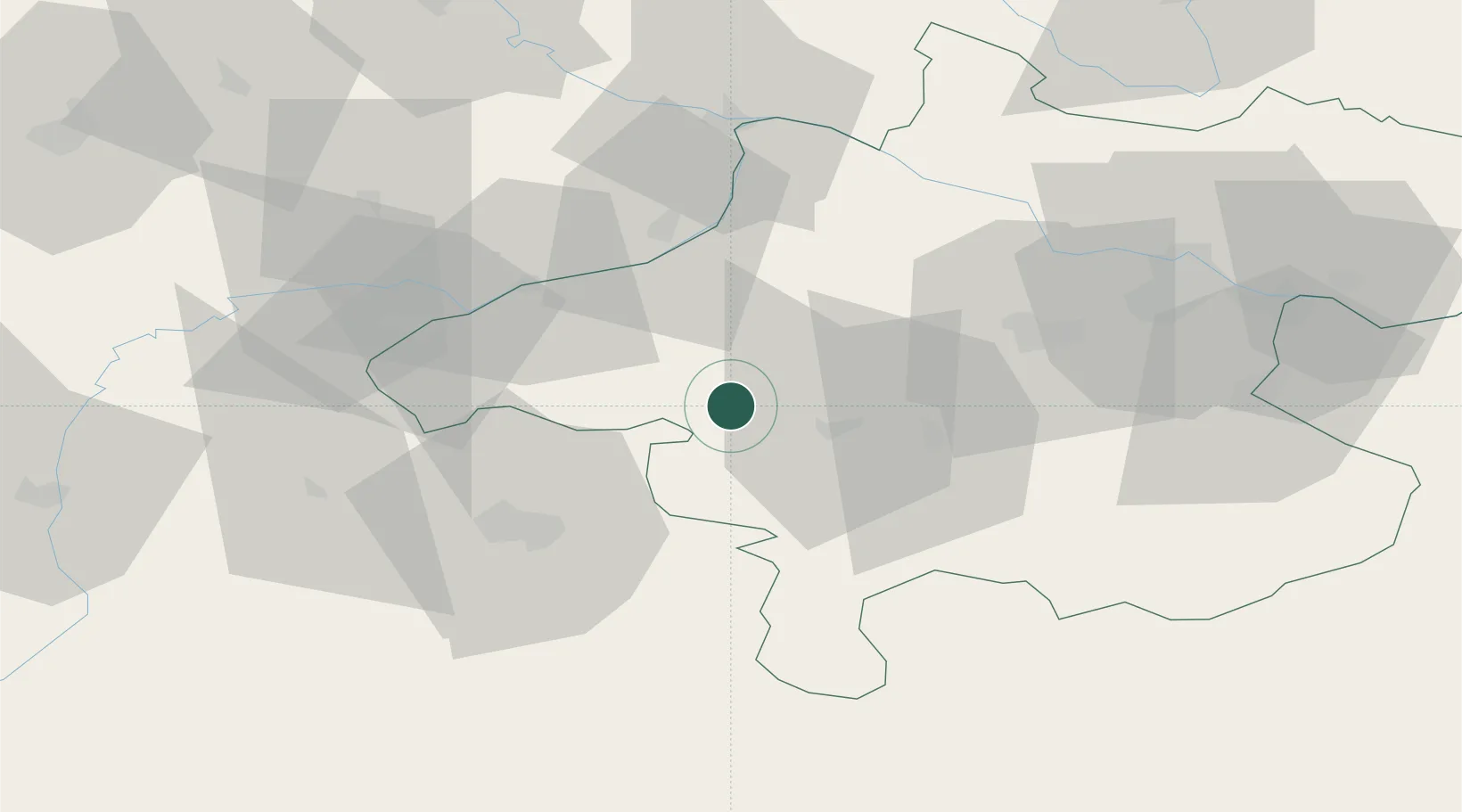
Location
Nearby Logistics Neighbours
Cities
- 1Sankt Georgen im Attergau12 km
- 2Ampflwang im Hausruckwald12 km
- 3Timelkam13 km
- 4Friedburg15 km
- 5Ottnang am Hausruck17 km
Ports
- 1Monfalcone250 km
- 2Nogaro254 km
- 3Grado260 km
- 4Trieste266 km
- 5Muggia272 km
Airports
- 1Salzburg Airport42 km
- 2Linz-Hörsching Airport60 km
- 3Landshut Airfield116 km
- 4České Budějovice South Bohemian Airport125 km
- 5Munich Airport127 km
Trade Zones
DatabookThe Record of Consolidated Knowledge
Austria beyond logistics?