Transport Functions
Rail
Road
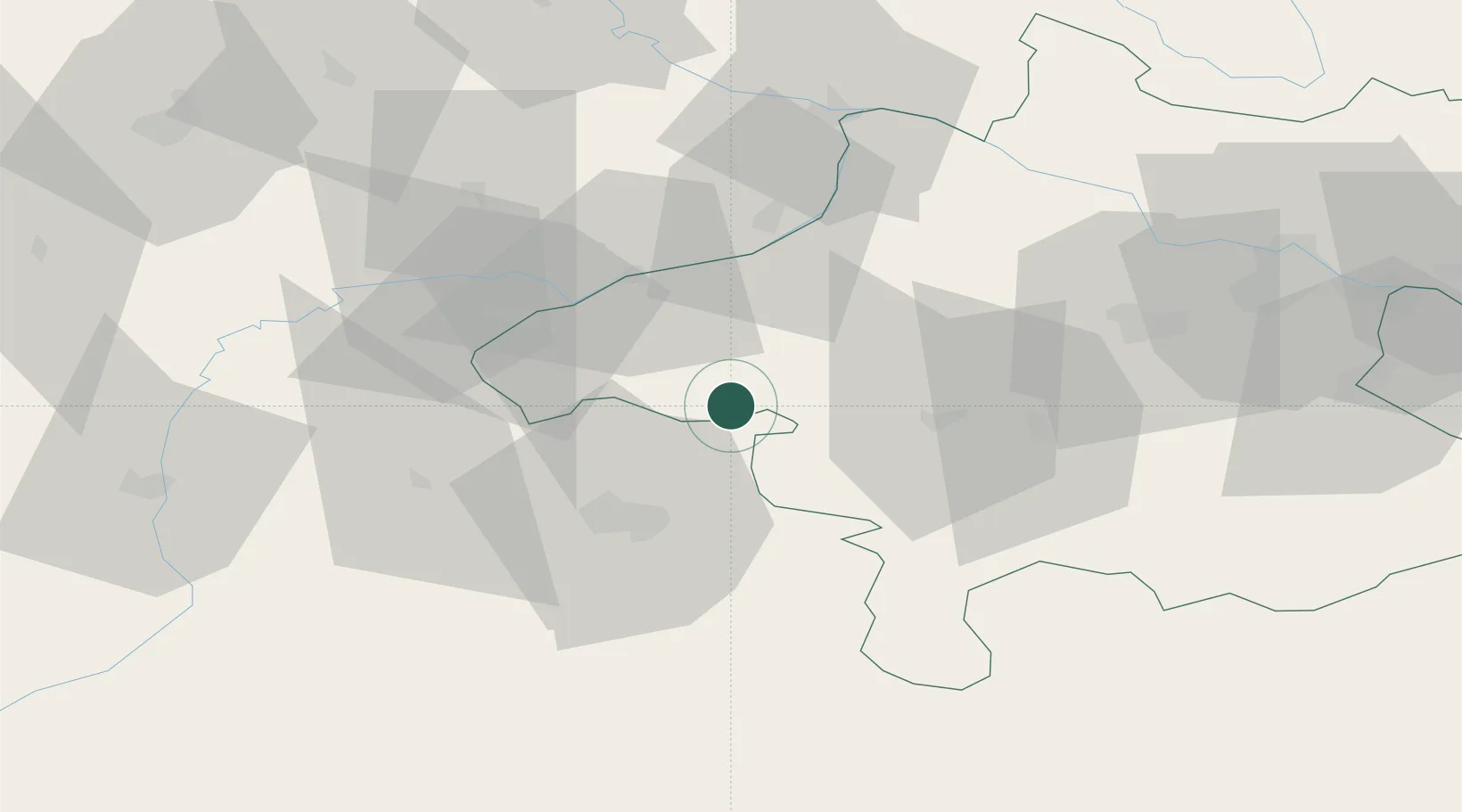
Hub Profile
Place type
Populated place
Region
Upper Austria
Population
714
Time zone
Europe/Vienna
Elevation
511 m
Location
Nearby Logistics Neighbours
Cities
- 1Neumarkt am Wallersee7 km
- 2Palting7 km
- 3Perwang11 km
- 4Fornach15 km
- 5Obertrum am See16 km
Ports
- 1Monfalcone250 km
- 2Nogaro251 km
- 3Grado258 km
- 4Trieste266 km
- 5Muggia272 km
Airports
- 1Salzburg Airport30 km
- 2Linz-Hörsching Airport75 km
- 3Landshut Airfield104 km
- 4Munich Airport114 km
- 5České Budějovice South Bohemian Airport136 km
Trade Zones
DatabookThe Record of Consolidated Knowledge
Austria beyond logistics?