Transport Functions
Rail
Road
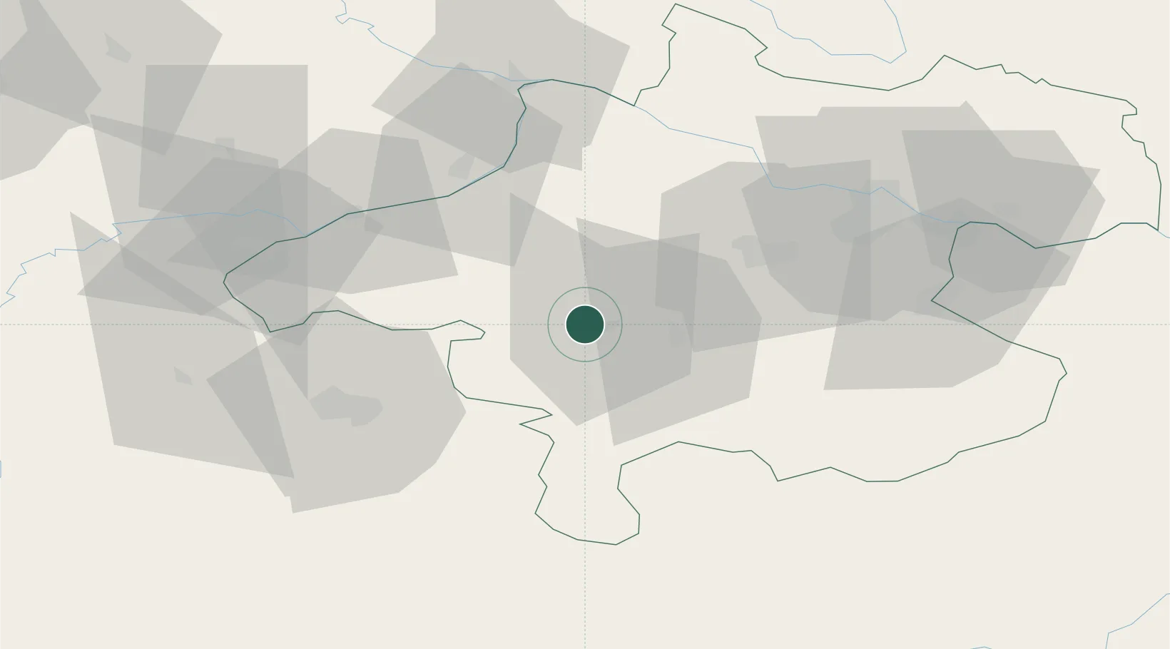
Hub Profile
Place type
District seat
Region
Upper Austria
Population
3,061
Time zone
Europe/Vienna
Elevation
446 m
Location
Nearby Logistics Neighbours
Cities
- 1Attnang-Puchheim9 km
- 2Ottnang am Hausruck10 km
- 3Manning11 km
- 4Ampflwang im Hausruckwald11 km
- 5Sankt Georgen im Attergau11 km
Ports
- 1Monfalcone247 km
- 2Nogaro251 km
- 3Grado257 km
- 4Trieste261 km
- 5Muggia267 km
Airports
- 1Salzburg Airport50 km
- 2Linz-Hörsching Airport51 km
- 3České Budějovice South Bohemian Airport122 km
- 4Hinterstoisser Air Base123 km
- 5Landshut Airfield129 km
Trade Zones
DatabookThe Record of Consolidated Knowledge
Austria beyond logistics?