UN/LOCODE hub · Austria
ATSGA
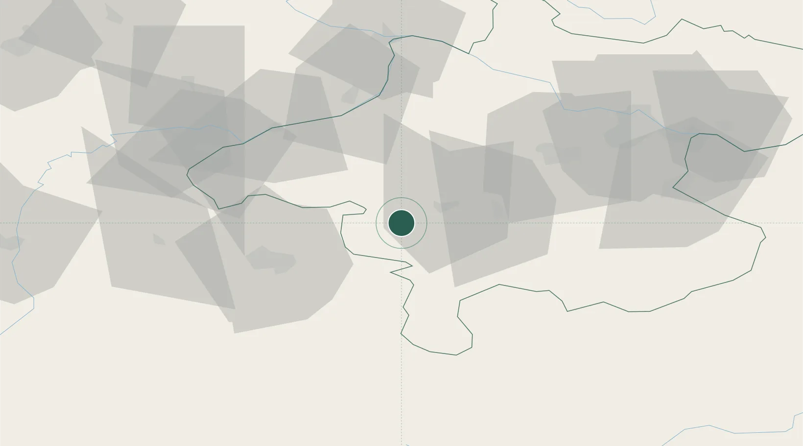
Sankt Georgen im Attergau
47.9333°, 13.4833°
2,986
Population
3
Transport functions
Transport Functions
Rail
Road
Multimodal
Hub Profile
Place type
District seat
Region
Upper Austria
Population
2,986
Time zone
Europe/Vienna
Elevation
537 m
Location
Nearby Logistics Neighbours
Cities
- 1Timelkam11 km
- 2Fornach12 km
- 3Neumarkt am Wallersee19 km
- 4Attnang-Puchheim19 km
- 5Ampflwang im Hausruckwald20 km
Ports
- 1Monfalcone239 km
- 2Nogaro243 km
- 3Grado249 km
- 4Trieste255 km
- 5Muggia260 km
Airports
- 1Salzburg Airport39 km
- 2Linz-Hörsching Airport62 km
- 3Hinterstoisser Air Base125 km
- 4Landshut Airfield125 km
- 5České Budějovice South Bohemian Airport133 km
Trade Zones
- 1Freeport of Deggendorf110 km
- 2Světlá nad Sázavou Municipal Industrial Zone239 km
- 3Free Port of Trieste255 km
- 4Podbořany Industrial Zone255 km
- 5Industrial Zone Kutna Hora259 km
DatabookThe Record of Consolidated Knowledge
Austria beyond logistics?