UN/LOCODE hub · Austria
ATNWS
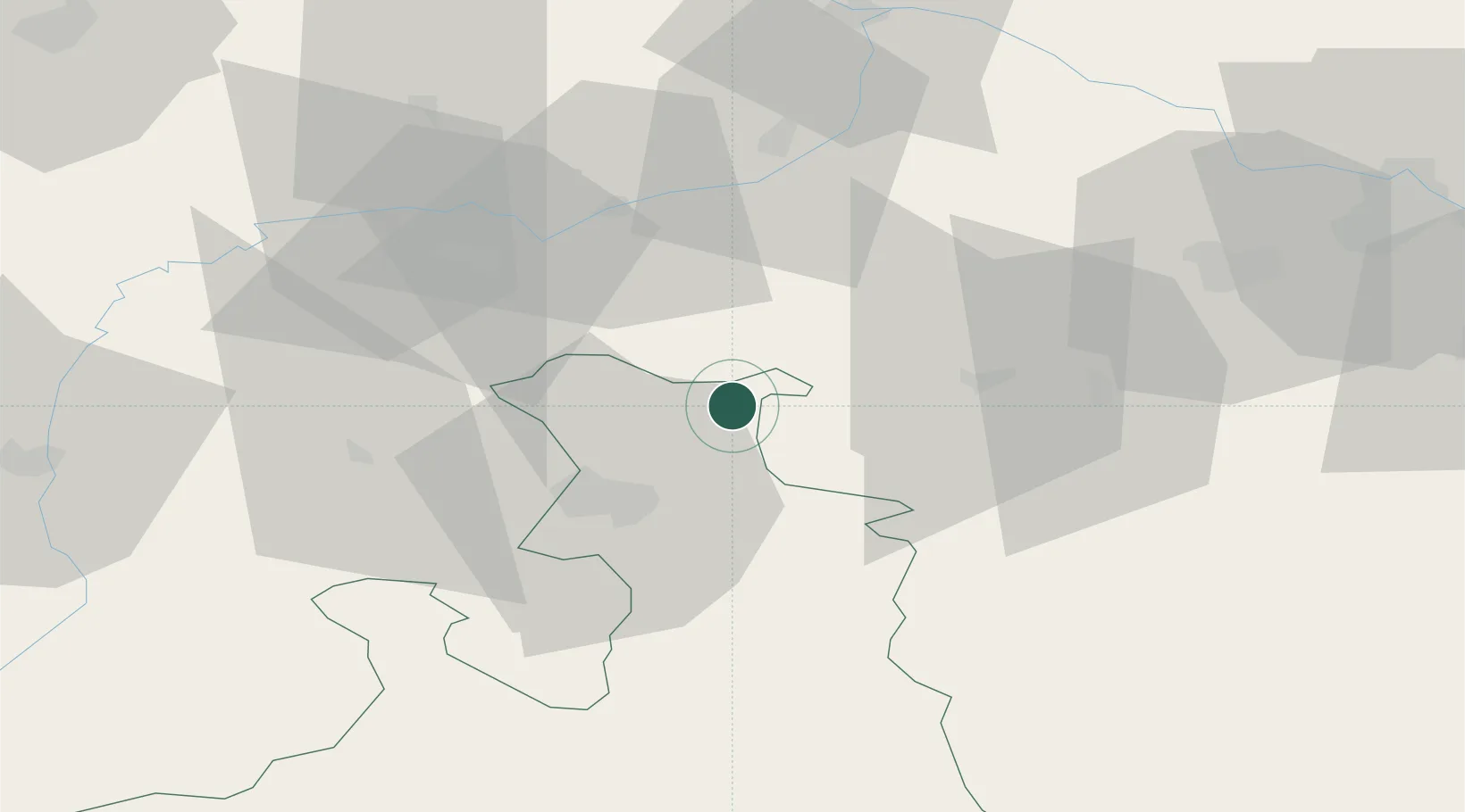
Neumarkt am Wallersee
47.9500°, 13.2333°
4,456
Population
2
Transport functions
Transport Functions
Rail
Road
Hub Profile
Place type
District seat
Region
Salzburg
Population
4,456
Time zone
Europe/Vienna
Elevation
562 m
Location
Nearby Logistics Neighbours
Cities
- 1Friedburg7 km
- 2Palting11 km
- 3Perwang13 km
- 4Obertrum am See13 km
- 5Eugendorf13 km
Ports
- 1Monfalcone242 km
- 2Nogaro244 km
- 3Grado251 km
- 4Trieste259 km
- 5Muggia264 km
Airports
- 1Salzburg Airport24 km
- 2Linz-Hörsching Airport78 km
- 3Landshut Airfield109 km
- 4Munich Airport116 km
- 5Hinterstoisser Air Base141 km
Trade Zones
- 1Freeport of Deggendorf103 km
- 2Světlá nad Sázavou Municipal Industrial Zone249 km
- 3Podbořany Industrial Zone254 km
- 4Free Port of Trieste259 km
- 5Industrial Zone Kutna Hora267 km
DatabookThe Record of Consolidated Knowledge
Austria beyond logistics?