Transport Functions
Road
Multimodal
Hub Profile
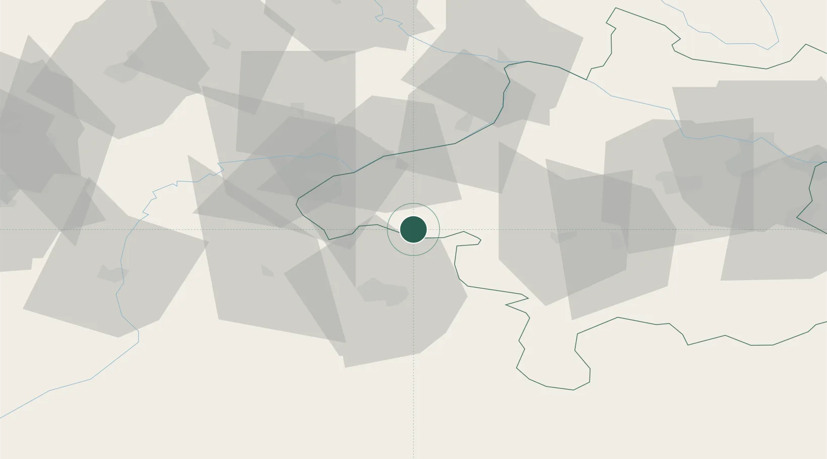
Place type
District seat
Region
Upper Austria
Population
87
Time zone
Europe/Vienna
Elevation
514 m
Location
Nearby Logistics Neighbours
Cities
- 1Perwang4 km
- 2Friedburg7 km
- 3Neumarkt am Wallersee11 km
- 4Obertrum am See11 km
- 5Moosdorf12 km
Ports
- 1Monfalcone250 km
- 2Nogaro251 km
- 3Grado258 km
- 4Trieste267 km
- 5Muggia273 km
Airports
- 1Salzburg Airport27 km
- 2Linz-Hörsching Airport82 km
- 3Landshut Airfield98 km
- 4Munich Airport107 km
- 5Oberpfaffenhofen Airport138 km
Trade Zones
DatabookThe Record of Consolidated Knowledge
Austria beyond logistics?