UN/LOCODE hub · Austria
ATVTD
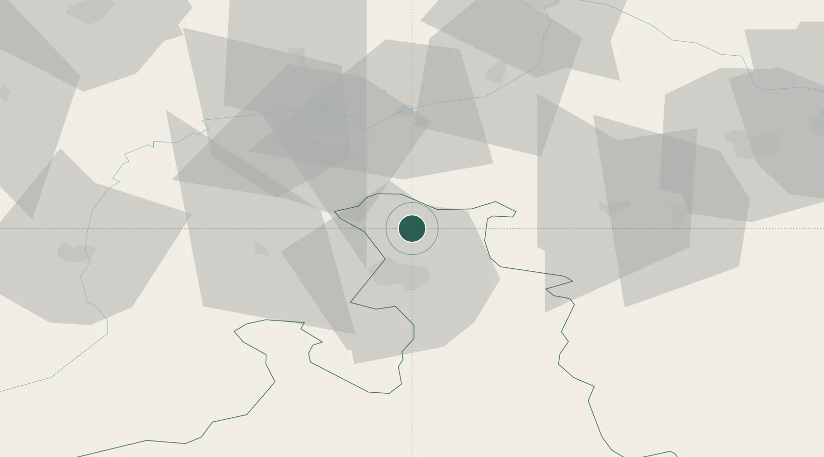
Obertrum am See
47.9333°, 13.0667°
3,966
Population
1
Transport functions
Transport Functions
Multimodal
Hub Profile
Place type
District seat
Region
Salzburg
Population
3,966
Time zone
Europe/Vienna
Elevation
508 m
Location
Nearby Logistics Neighbours
Cities
- 1Elixhausen7 km
- 2Perwang8 km
- 3Eugendorf8 km
- 4Anthering8 km
- 5Hallwang9 km
Ports
- 1Monfalcone242 km
- 2Nogaro242 km
- 3Grado249 km
- 4Trieste259 km
- 5Muggia265 km
Airports
- 1Salzburg Airport16 km
- 2Linz-Hörsching Airport90 km
- 3Landshut Airfield100 km
- 4Munich Airport106 km
- 5Oberpfaffenhofen Airport134 km
Trade Zones
- 1Freeport of Deggendorf102 km
- 2Podbořany Industrial Zone256 km
- 3Světlá nad Sázavou Municipal Industrial Zone259 km
- 4Free Port of Trieste260 km
- 5Livigno Free Trade Zone273 km
DatabookThe Record of Consolidated Knowledge
Austria beyond logistics?