Transport Functions
Road
Multimodal
Hub Profile
Region
4
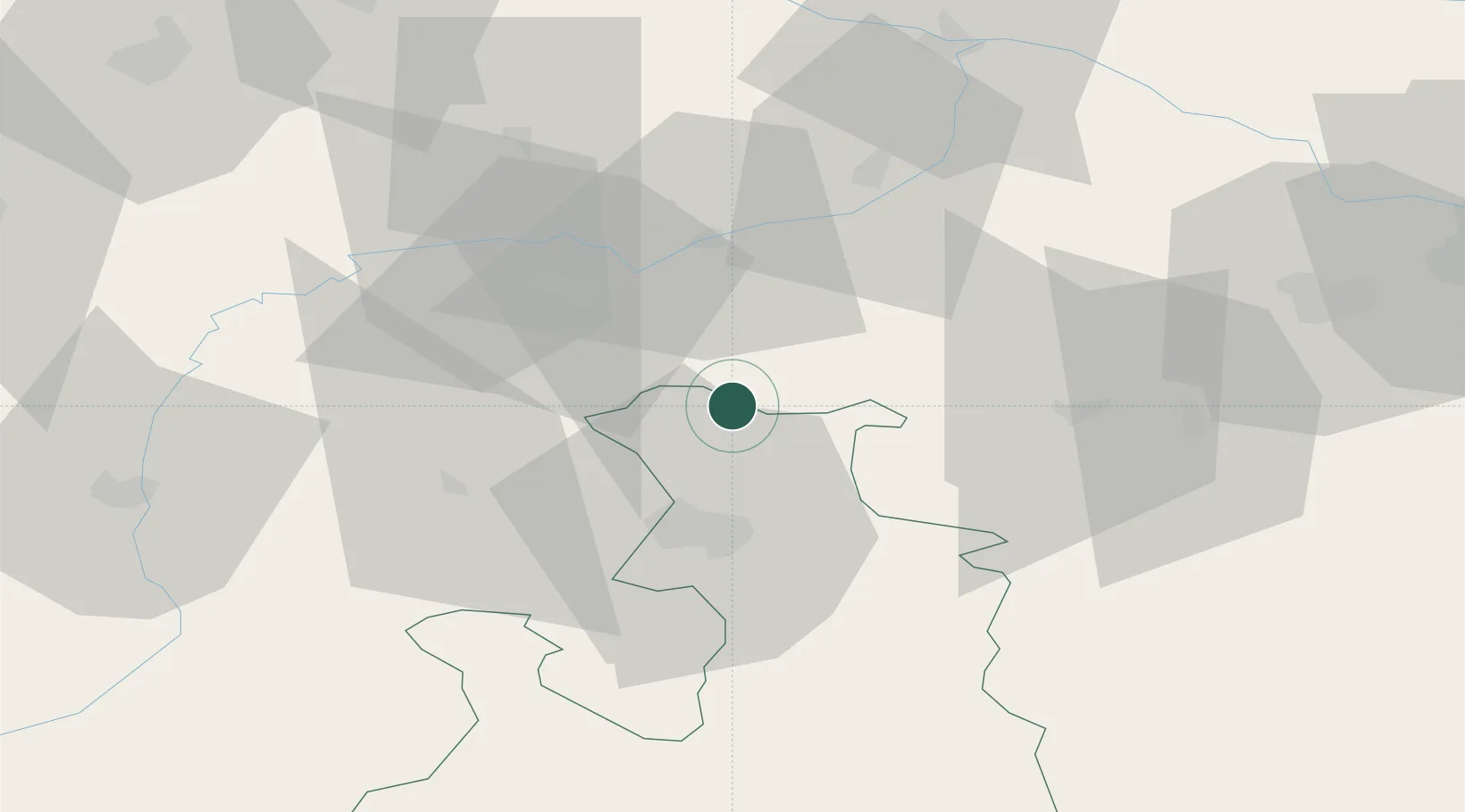
Location
Nearby Logistics Neighbours
Cities
- 1Palting4 km
- 2Obertrum am See8 km
- 3Moosdorf9 km
- 4Friedburg11 km
- 5Neumarkt am Wallersee13 km
Ports
- 1Monfalcone249 km
- 2Nogaro249 km
- 3Grado257 km
- 4Trieste266 km
- 5Muggia272 km
Airports
- 1Salzburg Airport24 km
- 2Linz-Hörsching Airport86 km
- 3Landshut Airfield96 km
- 4Munich Airport104 km
- 5Oberpfaffenhofen Airport134 km
Trade Zones
DatabookThe Record of Consolidated Knowledge
Austria beyond logistics?