Transport Functions
Multimodal
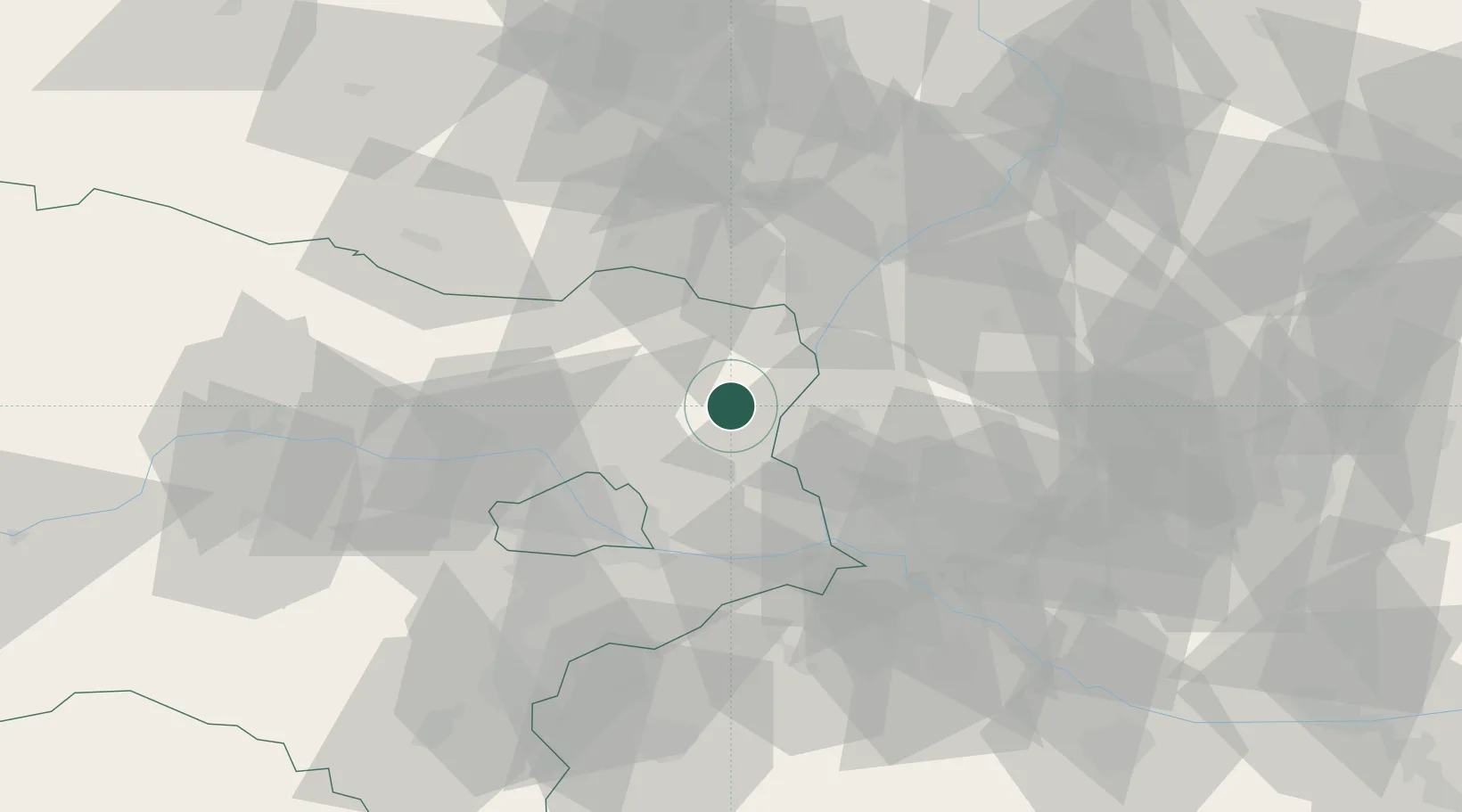
Hub Profile
Place type
Populated place
Region
Lower Austria
Population
604
Time zone
Europe/Vienna
Elevation
175 m
Location
Nearby Logistics Neighbours
Cities
- 1Spannberg4 km
- 2Dürnkrut8 km
- 3Hohenruppersdorf8 km
- 4Kleinharras11 km
- 5Prottes11 km
Ports
- 1Monfalcone386 km
- 2Trieste389 km
- 3Rijeka Luka392 km
- 4Bakar392 km
- 5Muggia392 km
Airports
- 1Malacky/Kuchyňa Air Base29 km
- 2Vienna International Airport44 km
- 3M. R. Štefánik Airport49 km
- 4Brno-Tuřany Airport74 km
- 5Kunovice Airport79 km
Trade Zones
DatabookThe Record of Consolidated Knowledge
Austria beyond logistics?