Transport Functions
Port
Multimodal
Hub Profile
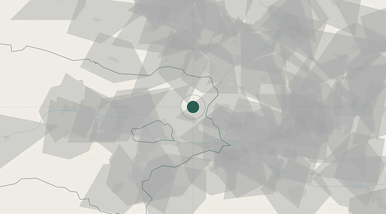
Place type
District seat
Region
Lower Austria
Population
1,010
Time zone
Europe/Vienna
Elevation
170 m
Location
Nearby Logistics Neighbours
Cities
- 1Loidesthal4 km
- 2Hohenruppersdorf6 km
- 3Prottes7 km
- 4Raggendorf8 km
- 5Kleinharras9 km
Ports
- 1Monfalcone382 km
- 2Trieste385 km
- 3Rijeka Luka388 km
- 4Bakar388 km
- 5Muggia389 km
Airports
Trade Zones
DatabookThe Record of Consolidated Knowledge
Austria beyond logistics?