Transport Functions
Port
Multimodal
Hub Profile
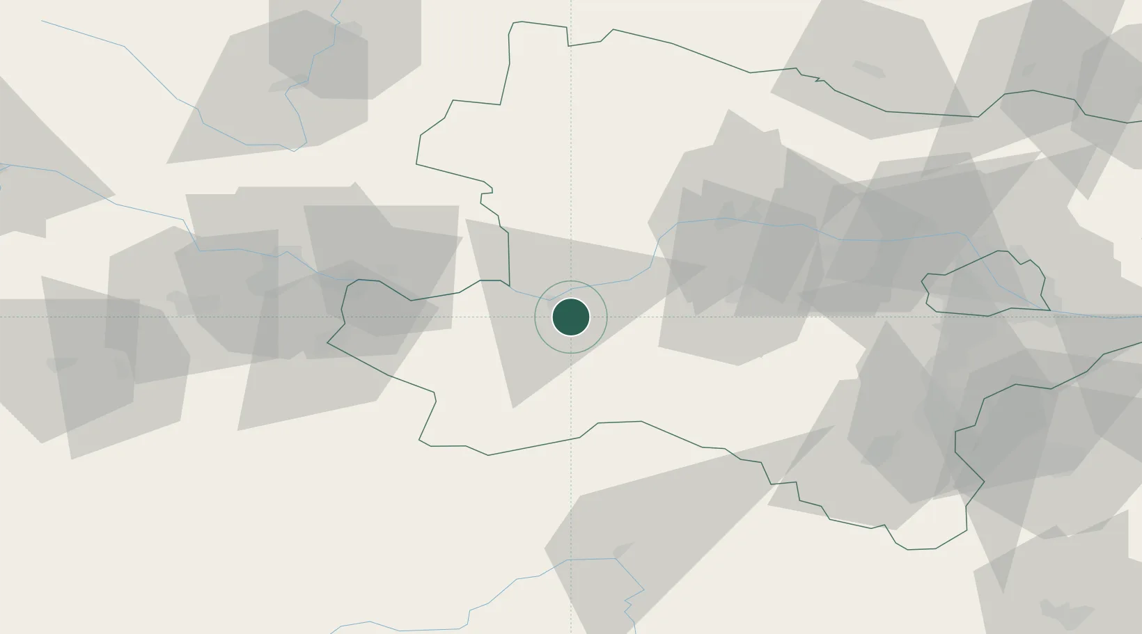
Place type
District seat
Region
Lower Austria
Population
1,311
Time zone
Europe/Vienna
Elevation
256 m
Location
Nearby Logistics Neighbours
Cities
- 1Persenbeug8 km
- 2Granz9 km
- 3Marbach an der Donau9 km
- 4Krummnussbaum9 km
- 5Purgstall an der Erlauf9 km
Ports
- 1Monfalcone288 km
- 2Trieste296 km
- 3Muggia301 km
- 4Nogaro304 km
- 5Grado305 km
Airports
Trade Zones
DatabookThe Record of Consolidated Knowledge
Austria beyond logistics?