UN/LOCODE hub · Austria
ATNAD

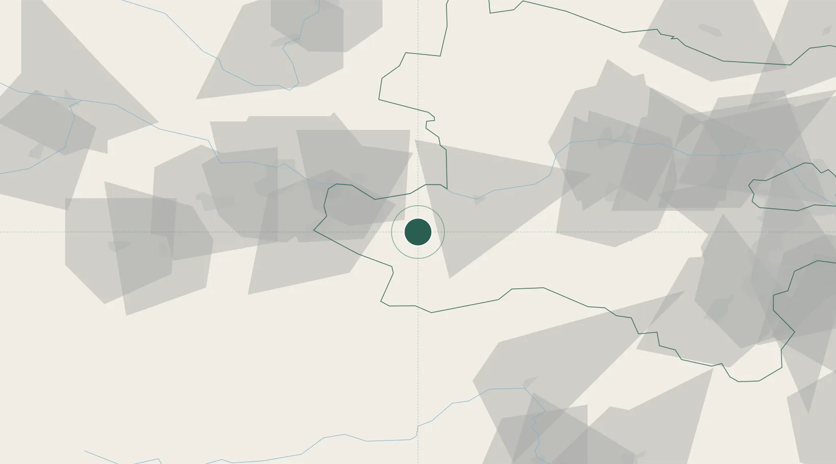
Neuhofen an der Ybbs

48.0500°, 14.8500°
1,054
Population
2
Transport functions

Transport Functions

Port
Road
UN/LOCODE

Hub Profile

Place type
District seat
GeoNames
Region
Lower Austria
GeoNames
Population
1,054
GeoNames
Time zone
Europe/Vienna
GeoNames
Elevation
318 m
GeoNames

Location

Location of ATNAD
Natural Earth 10m (public domain) · Lower Austria · ATNAD · 48.05, 14.85GoogleOSMYandex

Nearby Logistics Neighbours

Cities
  1. 1Allhartsberg6 km
  2. 2Oehling7 km
  3. 3Aschbach Markt8 km
  4. 4Hilm8 km
  5. 5Böhlerwenk11 km
Nearest neighbours — logibook spatial index (haversine) over the source coordinates
Ports
  1. 1Monfalcone271 km
  2. 2Trieste280 km
  3. 3Muggia285 km
  4. 4Nogaro285 km
  5. 5Grado287 km
Nearest neighbours — logibook spatial index (haversine) over the source coordinates
Airports
  1. 1Linz-Hörsching Airport53 km
  2. 2Hinterstoisser Air Base95 km
  3. 3České Budějovice South Bohemian Airport105 km
  4. 4Wiener Neustadt West Airport105 km
  5. 5Wiener Neustadt East Airport108 km
Nearest neighbours — logibook spatial index (haversine) over the source coordinates
Trade Zones
  1. 1Freeport of Deggendorf169 km
  2. 2Černovická Terasa Industrial Zone183 km
  3. 3Světlá nad Sázavou Municipal Industrial Zone185 km
  4. 4Veselí nad Moravou Industrial Zone212 km
  5. 5Industrial Zone Kutna Hora212 km
Nearest neighbours — logibook spatial index (haversine) over the source coordinates
DatabookThe Record of Consolidated Knowledge
Austria beyond logistics?
Browse databook

All Sources

LocationsUN/LOCODE
UN/LOCODE — free
LocationsGeoNames
CC BY 4.0
Portsthe NGA World Port Index
Public domain (US gov)
AirportsOurAirports
Public domain
Trade Zonesthe World Bank SEZ database
CC BY 4.0
Trade ZonesOpen Zone Map
CC BY
← Austria locations