Transport Functions
Rail
Road
Hub Profile
Place type
Urban district
Region
Lower Austria
Time zone
Europe/Vienna
Elevation
205 m
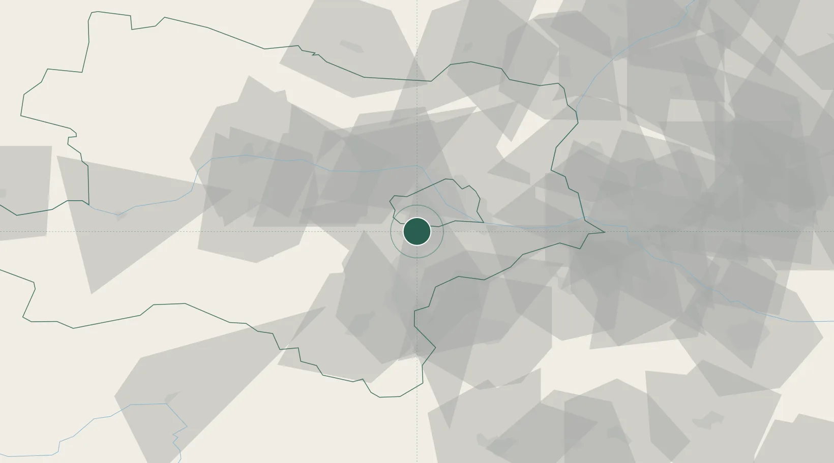
Location
Nearby Logistics Neighbours
Cities
- 1Vosendorf Sud2 km
- 2Biedermannsdorf5 km
- 3Hennersdorf5 km
- 4Maria Lanzendorf9 km
- 5Wein10 km
Ports
- 1Monfalcone333 km
- 2Trieste336 km
- 3Muggia340 km
- 4Rijeka Luka341 km
- 5Bakar341 km
Airports
Trade Zones
DatabookThe Record of Consolidated Knowledge
Austria beyond logistics?