UN/LOCODE hub · Austria
ATVDS

Vosendorf Sud

48.1000°, 16.3167°
2
Transport functions

Transport Functions

Rail
Road
UN/LOCODE

Hub Profile

Region
3
GeoNames

Location

Location of ATVDS
Natural Earth 10m (public domain) · 3 · ATVDS · 48.10, 16.32GoogleOSMYandex

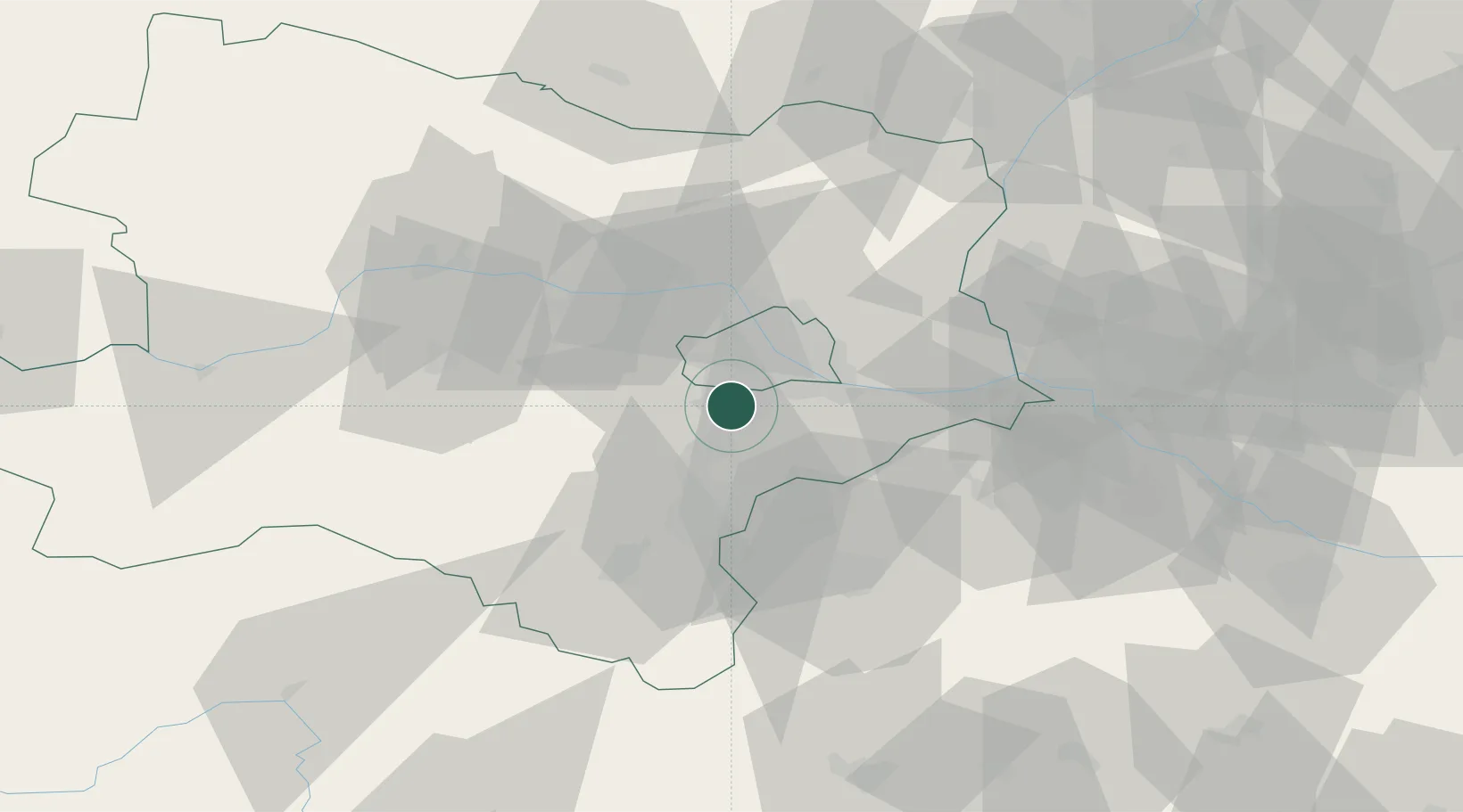
Nearby Logistics Neighbours

Cities
  1. 1Brunn am Gebirge2 km
  2. 2Biedermannsdorf3 km
  3. 3Hennersdorf4 km
  4. 4Maria Lanzendorf7 km
  5. 5Himberg9 km
Nearest neighbours — logibook spatial index (haversine) over the source coordinates
Ports
  1. 1Monfalcone332 km
  2. 2Trieste335 km
  3. 3Muggia339 km
  4. 4Rijeka Luka340 km
  5. 5Bakar340 km
Nearest neighbours — logibook spatial index (haversine) over the source coordinates
Airports
  1. 1Vienna International Airport19 km
  2. 2Wiener Neustadt East Airport29 km
  3. 3Wiener Neustadt West Airport30 km
  4. 4M. R. Štefánik Airport67 km
  5. 5Malacky/Kuchyňa Air Base68 km
Nearest neighbours — logibook spatial index (haversine) over the source coordinates
Trade Zones
  1. 1Černovická Terasa Industrial Zone122 km
  2. 2Veselí nad Moravou Industrial Zone123 km
  3. 3Holešov Industrial Zone163 km
  4. 4Světlá nad Sázavou Municipal Industrial Zone186 km
  5. 5Sjever Free Zone201 km
Nearest neighbours — logibook spatial index (haversine) over the source coordinates
DatabookThe Record of Consolidated Knowledge
Austria beyond logistics?
Browse databook

All Sources

LocationsUN/LOCODE
UN/LOCODE — free
Portsthe NGA World Port Index
Public domain (US gov)
AirportsOurAirports
Public domain
Trade Zonesthe World Bank SEZ database
CC BY 4.0
Trade ZonesOpen Zone Map
CC BY
← Austria locations