Free Trade Zone · Argentina

Zona Franca de San Luis Active
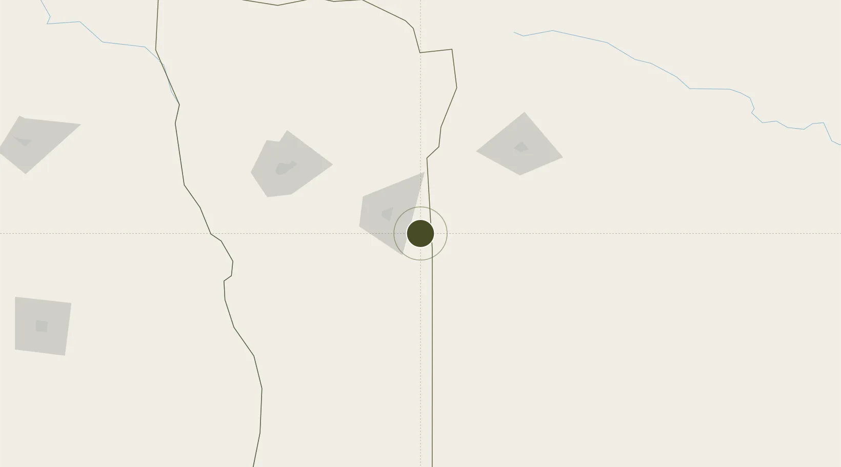
-33.8334°, -65.1849°
100 ha
Zone area
430.9 km
Nearest port
22.0 km
Nearest airport

Gateway access

Nearest neighbours — logibook spatial index (haversine) over the source coordinates

Zone profile

Zone type
Free Trade Zone
Open Zone Map
Region
San Luis
Open Zone Map
Status
Active
Open Zone Map
Management
Public-Private Partnership
Open Zone Map
Operator
Zona Parque Fotovoltaico de Terrazas del Portezuelo
Open Zone Map
Legal framework
Law No 24.331 of Free Zones, External Note N1/2008
Open Zone Map

Location

Location of ozm-48
Natural Earth 10m (public domain) · San Luis · ozm-48 · -33.83, -65.18GoogleOSMYandex

Nearby Logistics Neighbours

Ports
  1. 1San Lorenzo431 km
  2. 2Puerto San Martin432 km
  3. 3Rosario434 km
  4. 4Villa Constitucion455 km
  5. 5San Nicolas462 km
Nearest neighbours — logibook spatial index (haversine) over the source coordinates
Airports
  1. 1Villa Reynolds Airport22 km
  2. 2Area De Material Airport119 km
  3. 3Brigadier Mayor D Cesar Raul Ojeda Airport125 km
  4. 4Villa Dolores Airport210 km
  5. 5General Pico Airport245 km
Nearest neighbours — logibook spatial index (haversine) over the source coordinates
Cities
  1. 1Villa Mercedes32 km
  2. 2La Toma96 km
  3. 3Ticino205 km
  4. 4Río Tercero210 km
  5. 5Canals215 km
Nearest neighbours — logibook spatial index (haversine) over the source coordinates
Trade Zones
  1. 1Justo Daract Free Trade Zone0 km
  2. 2General Pico Free Zone242 km
  3. 3Córdoba Free Trade Zone299 km
  4. 4Zona Franca Mendoza Free Trade Zone362 km
  5. 5Zona Franca Bahía Blanca602 km
Nearest neighbours — logibook spatial index (haversine) over the source coordinates
DatabookThe Record of Consolidated Knowledge
Argentina beyond logistics?
Browse databook

All Sources

Trade ZonesOpen Zone Map
CC BY
Portsthe NGA World Port Index
Public domain (US gov)
AirportsOurAirports
Public domain
LocationsUN/LOCODE
UN/LOCODE — free
← Argentina trade zones