Channel & Berth Profile
Pilotage, Tugs & Services
Pilotage compulsoryYES
Pilotage availableYES
Tug assistanceYES
Potable waterYES
Diesel bunkersYES
MedicalYES
Garbage disposalNO
Facilities & Capabilities
Container—
Ro-Ro—
Liquid bulk—
Dry bulk—
Oil terminal—
Break bulk—
Dry dock—
RepairsNO
BunkeringYES
Rail linkYES
Dangerous cargo—
ISPS security—
Harbour Specifications
Harbour size
Very Small
Harbour type
River (Natural)
Shelter
Excellent
Water body
Rio de la Plata; South Atlantic Ocean
Overhead limit
No
Pilotage
Yes
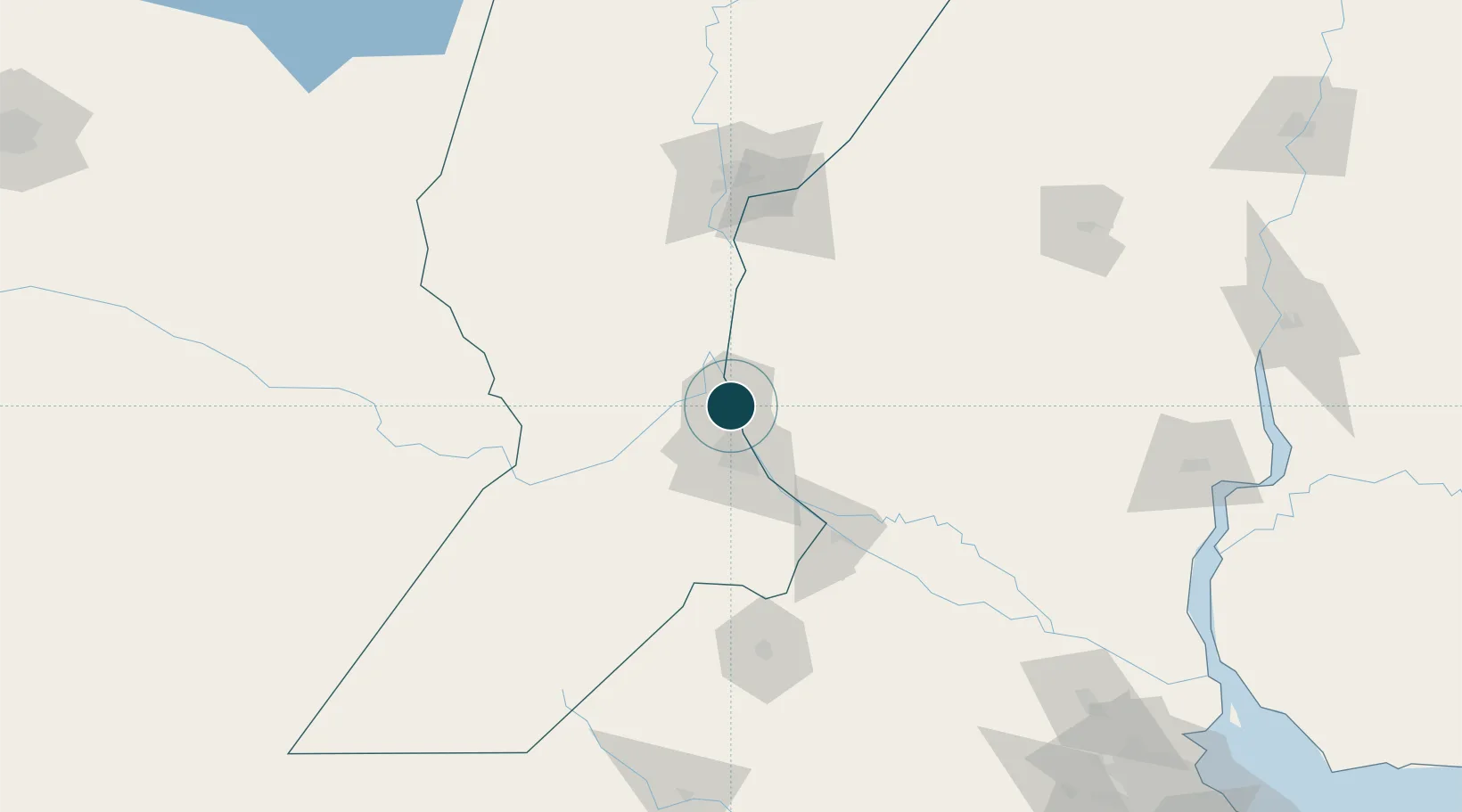
Location
Nearby Logistics Neighbours
Ports
- 1San Lorenzo4 km
- 2Rosario28 km
- 3Villa Constitucion69 km
- 4Diamante73 km
- 5San Nicolas83 km
Cities
- 1Fray Luis A. Beltrán7 km
- 2Resinfor7 km
- 3Quebracho/San Lorenzo8 km
- 4Puerto Alumbrera8 km
- 5Timbúes10 km
Airports
Trade Zones
- 1Zona Franca UPM236 km
- 2UPM Fray Bentos Free Zone236 km
- 3Nueva Palmira Free Zone252 km
- 4Zona Sur Buenos Aires297 km
- 5Montes de Plata Free Zone300 km
DatabookThe Record of Consolidated Knowledge
Argentina beyond logistics?