Transport Functions
Multimodal
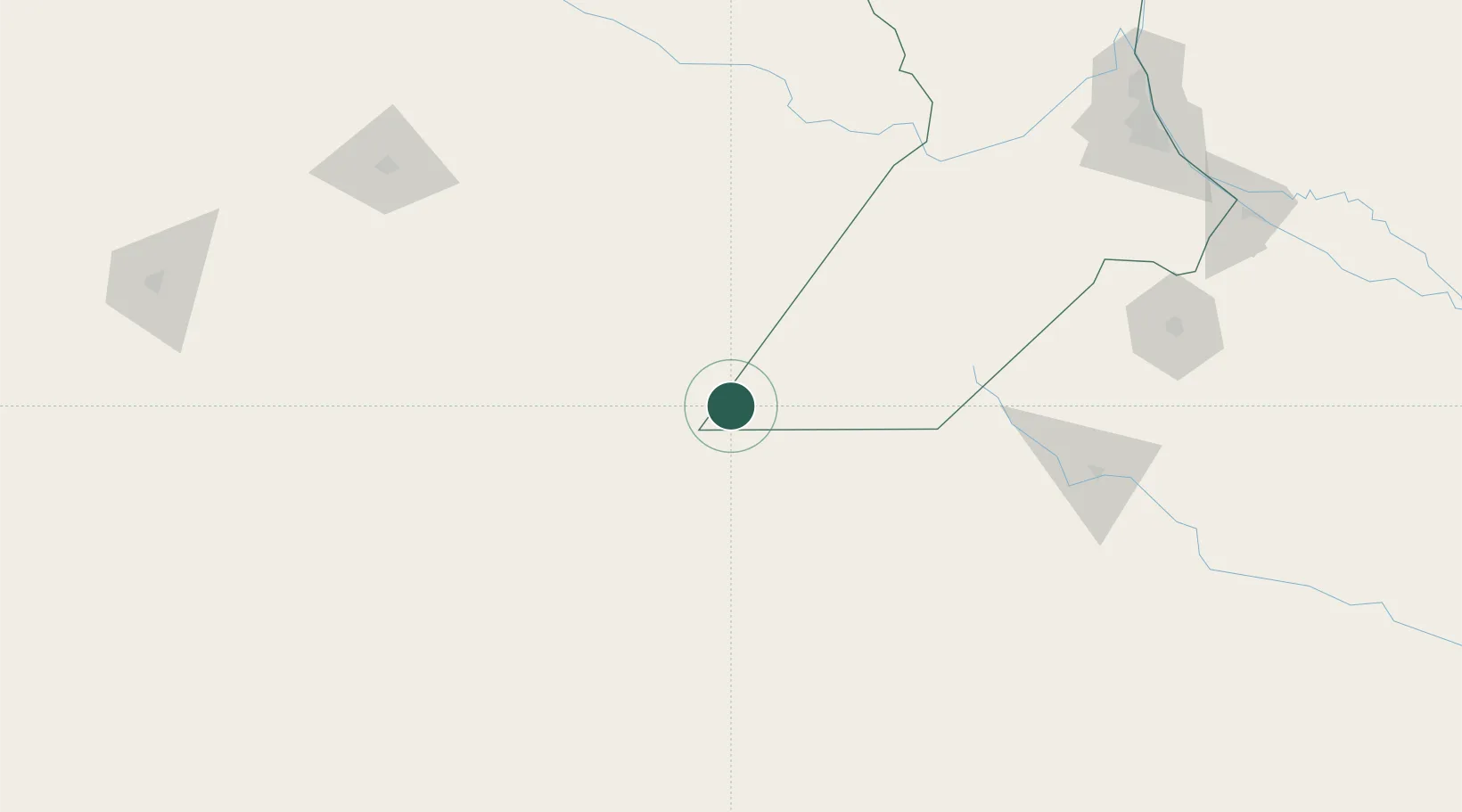
Hub Profile
Place type
Populated place
Region
Santa Fe
Population
18,361
Time zone
America/Argentina/Cordoba
Elevation
116 m
Location
Nearby Logistics Neighbours
Cities
- 1Piedritas59 km
- 2Arias75 km
- 3Canals82 km
- 4Santa Isabel101 km
- 5Teodelina108 km
Ports
- 1Rosario241 km
- 2Villa Constitucion247 km
- 3San Lorenzo248 km
- 4San Nicolas250 km
- 5Puerto San Martin251 km
Airports
Trade Zones
- 1General Pico Free Zone186 km
- 2Justo Daract Free Trade Zone234 km
- 3Zona Franca de San Luis234 km
- 4Córdoba Free Trade Zone359 km
- 5Zona Sur Buenos Aires387 km
DatabookThe Record of Consolidated Knowledge
Argentina beyond logistics?