Heliport · Brazil

Cooperativa Lar HeliportBR-0318
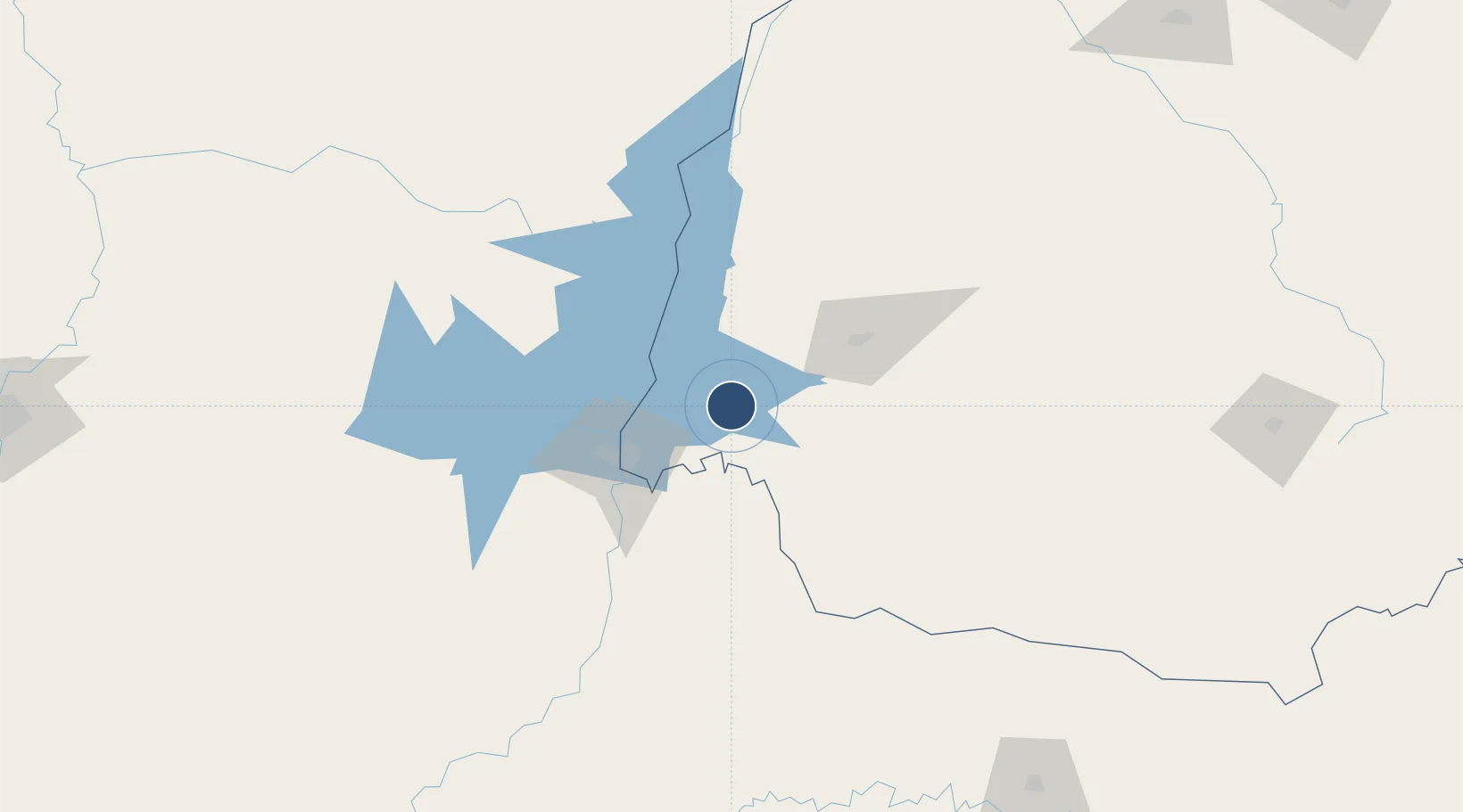
-25.2743°, -54.0674°
64 ft
Longest runway
1
Runways
1,601 ft
Elevation

Runway & Layout

Cooperativa Lar Heliport runway & taxiway layout
Runway & taxiway layout — OpenStreetMap (ODbL) / OurAirports

Runways · 1

RunwayDimensions SurfaceTrue headingLit
H1/H1 64 × 64ft Concrete
OurAirports

Airport Specifications

ICAO code
SSLC
OurAirports
Airport class
Heliport
OurAirports
Scheduled service
Yes
OurAirports
Runway surface
Concrete
OurAirports
Served city
Medianeira
OurAirports

Location

Location of BR-0318
Natural Earth 10m (public domain) · Paraná · BR-0318 · -25.27, -54.07GoogleOSMYandex

Nearby Logistics Neighbours

Airports
  1. 1Cataratas International Airport55 km
  2. 2Itaipú Airport57 km
  3. 3Coronel Adalberto Mendes da Silva Airport65 km
  4. 4Cataratas Del Iguazú International Airport66 km
  5. 5Toledo - Luiz Dalcanale Filho Municipal Airport75 km
Nearest neighbours — logibook spatial index (haversine) over the source coordinates
Cities
  1. 1Santa Terezinha de Itaipu36 km
  2. 2Capanema51 km
  3. 3Santa Helena54 km
  4. 4Foz do Iguaçu59 km
  5. 5Ciudad del Este68 km
Nearest neighbours — logibook spatial index (haversine) over the source coordinates
Ports
  1. 1Puerto De Asuncion364 km
  2. 2Sao Francisco555 km
  3. 3Paranagua558 km
  4. 4Itajai573 km
  5. 5Porto Alegre598 km
Nearest neighbours — logibook spatial index (haversine) over the source coordinates
Trade Zones
  1. 1Zona Franca Puerto Iguazu Free Trade Zone62 km
  2. 2Zona Franca Internacional68 km
  3. 3Zona Franca Global69 km
  4. 4ZPE de Bataguassú (MS)433 km
  5. 5ZPE de Imbituba (SC)607 km
Nearest neighbours — logibook spatial index (haversine) over the source coordinates
DatabookThe Record of Consolidated Knowledge
Brazil beyond logistics?
Browse databook

All Sources

AirportsOurAirports
Public domain
Portsthe NGA World Port Index
Public domain (US gov)
LocationsUN/LOCODE
UN/LOCODE — free
Trade Zonesthe World Bank SEZ database
CC BY 4.0
Trade ZonesOpen Zone Map
CC BY
InfrastructureOpenStreetMap
ODbL 1.0
← Brazil airports