Transport Functions
Multimodal
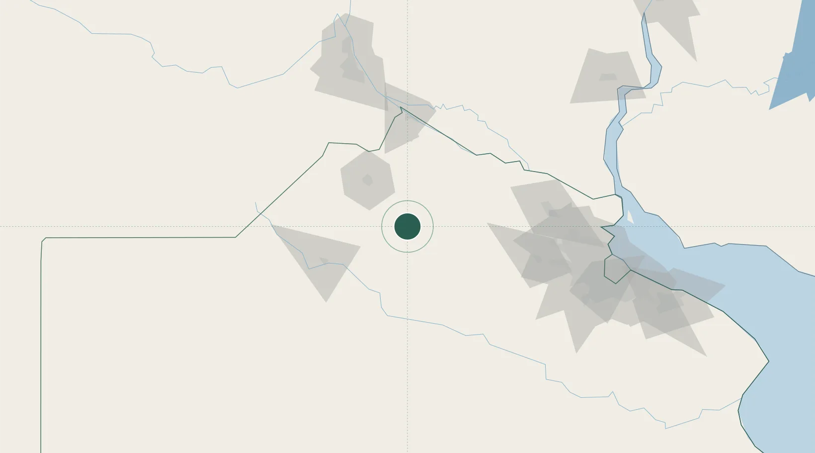
Hub Profile
Region
A
Location
Nearby Logistics Neighbours
Cities
- 1Arrecifes25 km
- 2Chacabuco44 km
- 3Pergamino54 km
- 4Ireneo Portela63 km
- 5San Antonio de Areco71 km
Ports
- 1San Pedro87 km
- 2Ramallo91 km
- 3San Nicolas106 km
- 4Zarate113 km
- 5Puerto Ibicuy114 km
Airports
Trade Zones
- 1Zona Sur Buenos Aires164 km
- 2Nueva Palmira Free Zone173 km
- 3Montes de Plata Free Zone201 km
- 4Colonia Free Zone221 km
- 5La Plata Free Trade Zone222 km
DatabookThe Record of Consolidated Knowledge
Argentina beyond logistics?