Transport Functions
Port
Rail
Road
Hub Profile
Place type
Provincial seat
Region
Buenos Aires
Population
26,400
Time zone
America/Argentina/Buenos_Aires
Elevation
28 m
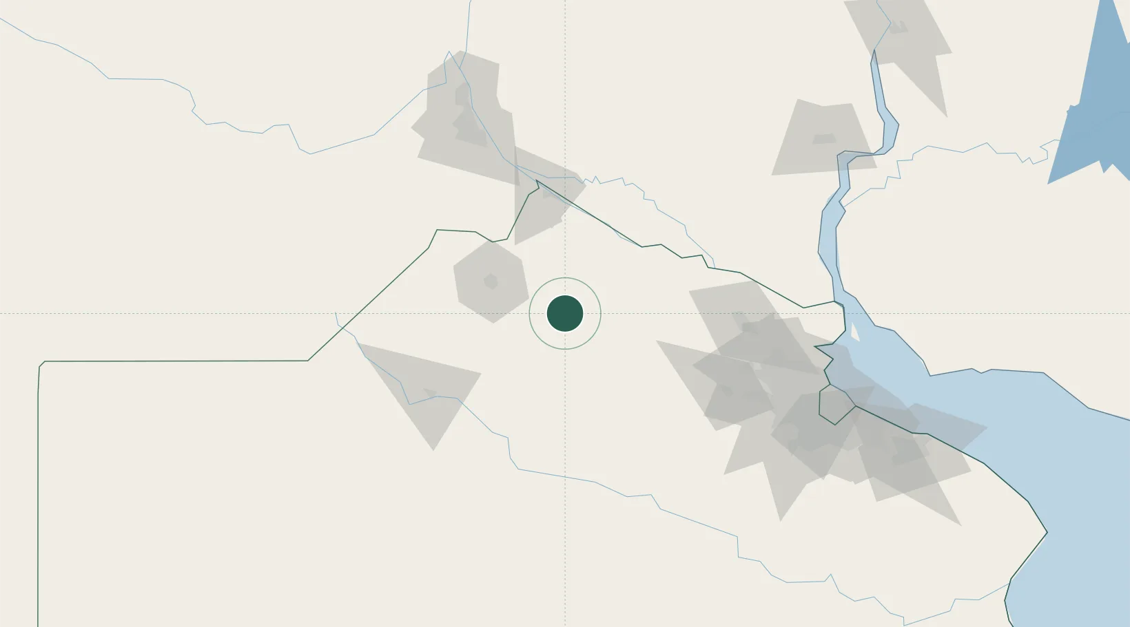
Location
Nearby Logistics Neighbours
Cities
- 1Campo Salto25 km
- 2Ireneo Portela44 km
- 3Pergamino47 km
- 4San Antonio de Areco63 km
- 5Alvear65 km
Ports
- 1San Pedro62 km
- 2Ramallo67 km
- 3San Nicolas84 km
- 4Puerto Ibicuy94 km
- 5Villa Constitucion97 km
Airports
Trade Zones
- 1Nueva Palmira Free Zone158 km
- 2Zona Sur Buenos Aires161 km
- 3Montes de Plata Free Zone191 km
- 4Zona Franca UPM203 km
- 5UPM Fray Bentos Free Zone203 km
DatabookThe Record of Consolidated Knowledge
Argentina beyond logistics?