Transport Functions
Multimodal
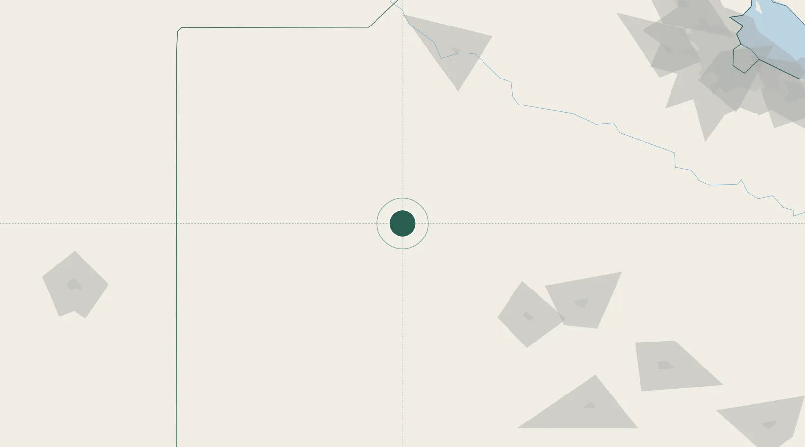
Hub Profile
Place type
Populated place
Region
Buenos Aires
Time zone
America/Argentina/Buenos_Aires
Elevation
106 m
Location
Nearby Logistics Neighbours
Cities
- 1Villa Lynch58 km
- 2Daireaux65 km
- 3Nueve de Julio85 km
- 4Olavarría132 km
- 5Bragado136 km
Ports
- 1Bahia Blanca310 km
- 2Campana310 km
- 3Puerto Galvan310 km
- 4Zarate311 km
- 5Puerto Ingeniero White311 km
Airports
- 1Comodoro Pedro Zanni Airport48 km
- 2General Pico Airport215 km
- 3Héroes de Malvinas Airport233 km
- 4(Duplicate)Aeropuerto Pergamino255 km
- 5Santa Rosa Airport262 km
Trade Zones
- 1General Pico Free Zone218 km
- 2Zona Franca Bahía Blanca302 km
- 3Zona Sur Buenos Aires309 km
- 4La Plata Free Trade Zone346 km
- 5Nueva Palmira Free Zone366 km
DatabookThe Record of Consolidated Knowledge
Argentina beyond logistics?