Seaport · Argentina
Bahia BlancaARBHI
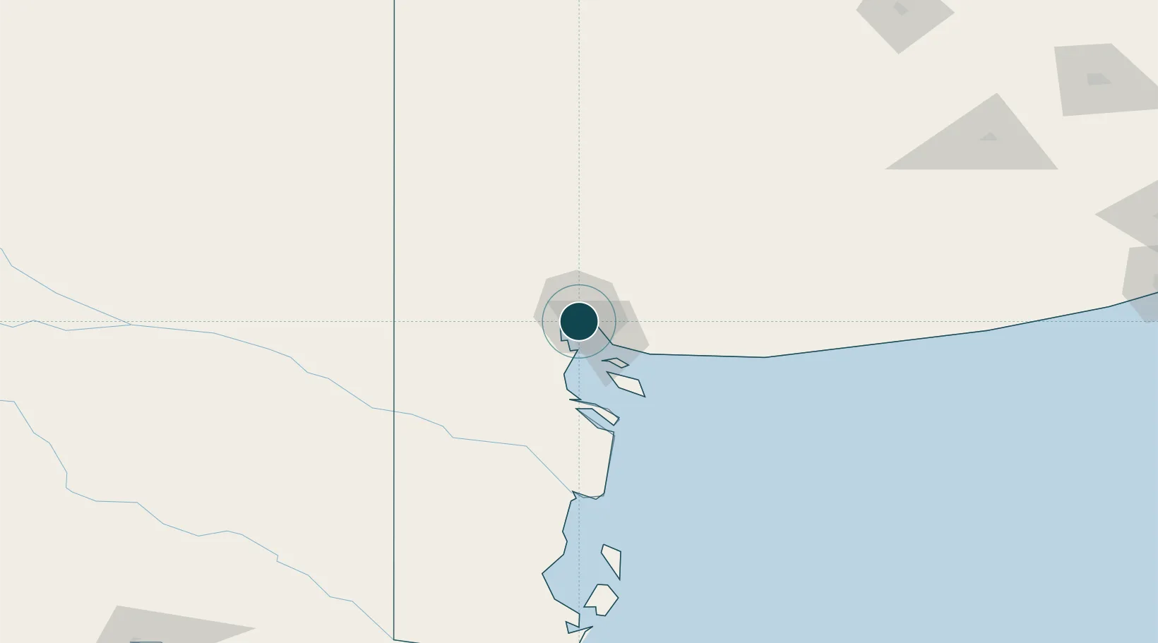
-38.7833°, -62.2667°
9.4 m
Channel depth
1
Container terminals
19.9
Port liner connectivity
Channel & Berth Profile
Pilotage, Tugs & Services
Pilotage compulsoryYES
Pilotage availableYES
Tug assistanceYES
Shore powerYES
Potable waterYES
Diesel bunkersYES
MedicalYES
Facilities & Capabilities
Container—
Ro-Ro—
Liquid bulk—
Dry bulk—
Oil terminal—
Break bulk—
Dry dockNO
RepairsNO
BunkeringYES
Rail link—
Dangerous cargo—
ISPS security—
Harbour Specifications
Harbour size
Very Small
Harbour type
Coastal (Natural)
Shelter
Good
Water body
South Atlantic Ocean
Tidal range
2 m
Overhead limit
Yes
Pilotage
Yes
Liner Connectivity
19.9
PLSCI
Port Liner Shipping Connectivity Index for Bahia Blanca, as published by UNCTAD for the latest available quarter. Higher values indicate stronger scheduled liner-shipping integration.
Shown relative to the highest per-port PLSCI in the dataset (1,657.9).
Location
Container Terminals · 1
TERMINAL BAHIA BLANCA
TBB
Nearby Logistics Neighbours
Ports
- 1Puerto Ingeniero White2 km
- 2Puerto Nacional2 km
- 3Puerto Galvan3 km
- 4Puerto Belgrano18 km
- 5Puerto Rosales24 km
Cities
- 1Ingeniero White/Bahia Blanca0 km
- 2Puerto Rosales/Bahia Blanca24 km
- 3Tres Arroyos178 km
- 4Daireaux247 km
- 5Villa Lynch255 km
Airports
- 1Comandante Espora Airport11 km
- 2Tres Arroyos Airport174 km
- 3Gobernador Castello Airport240 km
- 4Santa Rosa Airport301 km
- 5Necochea Airport301 km
Trade Zones
- 1Zona Franca Bahía Blanca8 km
- 2General Pico Free Zone370 km
- 3Zona Sur Buenos Aires570 km
- 4La Plata Free Trade Zone585 km
- 5Justo Daract Free Trade Zone609 km
DatabookThe Record of Consolidated Knowledge
Argentina beyond logistics?