UN/LOCODE hub · Argentina
ARDIX

Daireaux

-36.6000°, -61.7500°
1
Transport functions

Transport Functions

Multimodal
UN/LOCODE

Hub Profile

Place type
Provincial seat
GeoNames
Region
Buenos Aires
GeoNames
Time zone
America/Argentina/Buenos_Aires
GeoNames
Elevation
118 m
GeoNames

Location

Location of ARDIX
Natural Earth 10m (public domain) · Buenos Aires · ARDIX · -36.60, -61.75GoogleOSMYandex

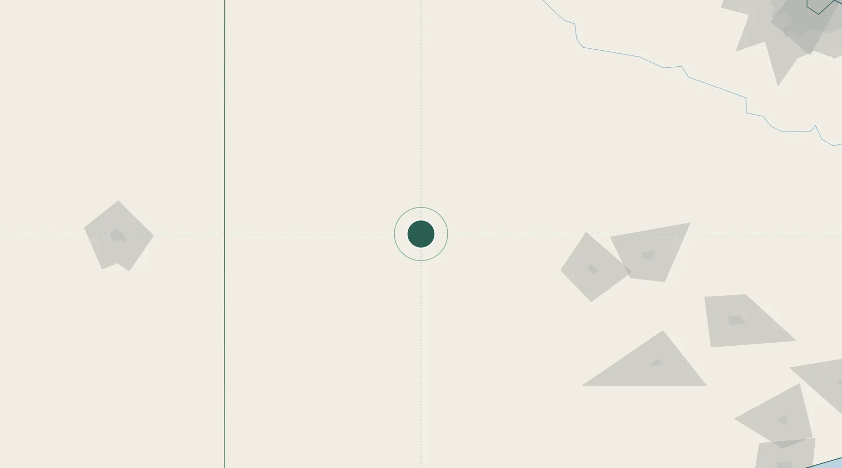
Nearby Logistics Neighbours

Cities
  1. 1Villa Lynch34 km
  2. 2Herrera Vegas65 km
  3. 3Olavarría130 km
  4. 4Nueve de Julio150 km
  5. 5Azul169 km
Nearest neighbours — logibook spatial index (haversine) over the source coordinates
Ports
  1. 1Bahia Blanca247 km
  2. 2Puerto Galvan248 km
  3. 3Puerto Ingeniero White249 km
  4. 4Puerto Nacional249 km
  5. 5Puerto Belgrano256 km
Nearest neighbours — logibook spatial index (haversine) over the source coordinates
Airports
  1. 1Comodoro Pedro Zanni Airport85 km
  2. 2General Pico Airport206 km
  3. 3Santa Rosa Airport226 km
  4. 4Tres Arroyos Airport235 km
  5. 5Héroes de Malvinas Airport235 km
Nearest neighbours — logibook spatial index (haversine) over the source coordinates
Trade Zones
  1. 1General Pico Free Zone209 km
  2. 2Zona Franca Bahía Blanca240 km
  3. 3Zona Sur Buenos Aires366 km
  4. 4La Plata Free Trade Zone398 km
  5. 5Colonia Free Zone426 km
Nearest neighbours — logibook spatial index (haversine) over the source coordinates
DatabookThe Record of Consolidated Knowledge
Argentina beyond logistics?
Browse databook

All Sources

LocationsUN/LOCODE
UN/LOCODE — free
Portsthe NGA World Port Index
Public domain (US gov)
AirportsOurAirports
Public domain
Trade Zonesthe World Bank SEZ database
CC BY 4.0
Trade ZonesOpen Zone Map
CC BY
← Argentina locations