UN/LOCODE hub · Argentina
AREJO
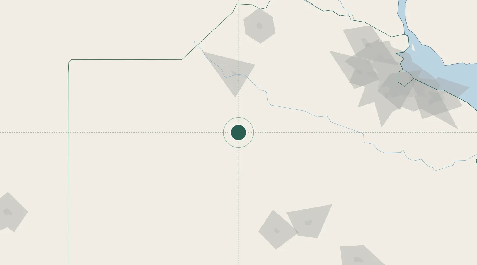
Nueve de Julio
-35.4500°, -60.8833°
34,718
Population
2
Transport functions
Transport Functions
Rail
Road
Hub Profile
Place type
Provincial seat
Region
Buenos Aires
Population
34,718
Time zone
America/Argentina/Buenos_Aires
Elevation
79 m
Location
Nearby Logistics Neighbours
Cities
- 1Bragado51 km
- 2Alberti72 km
- 3Herrera Vegas85 km
- 4Chacabuco98 km
- 5Chivilcoy99 km
Ports
- 1Campana227 km
- 2Zarate227 km
- 3San Pedro229 km
- 4Ramallo233 km
- 5San Nicolas243 km
Airports
Trade Zones
- 1Zona Sur Buenos Aires235 km
- 2General Pico Free Zone263 km
- 3La Plata Free Trade Zone279 km
- 4Nueva Palmira Free Zone285 km
- 5Montes de Plata Free Zone292 km
DatabookThe Record of Consolidated Knowledge
Argentina beyond logistics?