Transport Functions
Multimodal
Hub Profile
Place type
Populated place
Region
Buenos Aires
Time zone
America/Argentina/Buenos_Aires
Elevation
30 m
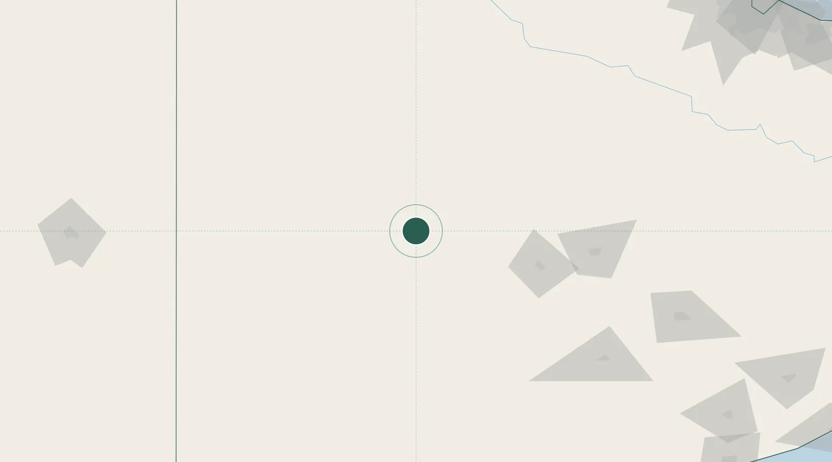
Location
Nearby Logistics Neighbours
Cities
- 1Daireaux34 km
- 2Herrera Vegas58 km
- 3Olavarría97 km
- 4Nueve de Julio135 km
- 5Azul135 km
Ports
- 1Bahia Blanca255 km
- 2Puerto Galvan256 km
- 3Puerto Ingeniero White257 km
- 4Puerto Nacional258 km
- 5Puerto Belgrano262 km
Airports
- 1Comodoro Pedro Zanni Airport95 km
- 2Héroes de Malvinas Airport203 km
- 3Tres Arroyos Airport219 km
- 4General Pico Airport237 km
- 5Comandante Espora Airport247 km
Trade Zones
- 1General Pico Free Zone240 km
- 2Zona Franca Bahía Blanca248 km
- 3Zona Sur Buenos Aires338 km
- 4La Plata Free Trade Zone368 km
- 5Colonia Free Zone398 km
DatabookThe Record of Consolidated Knowledge
Argentina beyond logistics?