Medium airport · Argentina
Héroes de Malvinas AirportSAZT
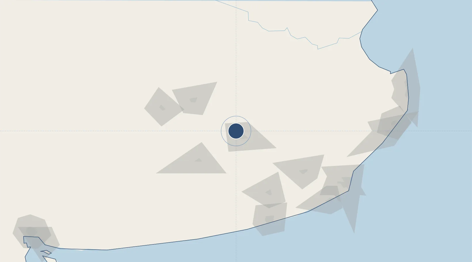
-37.2346°, -59.2286°
8,366 ft
Longest runway
1
Runways
574 ft
Elevation
Runway & Layout

Radio Frequencies
TWR
119.4 MHz
APP
119.4 MHz
ARR
120.9 MHz
CON
Navaids
DIL VOR-DME Tandil 115.90 MHz
OD NDB Tandil 300 kHz
Runways · 1
| Runway | Dimensions | Surface | True heading | Lit |
|---|---|---|---|---|
| 1/19 | 8,366 × 157ft | Concrete | 005° | ✓ |
Airport Specifications
IATA code
TDL
ICAO code
SAZT
Airport class
Medium airport
Scheduled service
No
Runway surface
Concrete
Served city
Tandil
Location
Nearby Logistics Neighbours
Airports
- 1Necochea Airport144 km
- 2Tres Arroyos Airport161 km
- 3Ástor Piazzola International Airport165 km
- 4Villa Gesell Airport195 km
- 5Santa Teresita Airport236 km
Ports
- 1Quequen157 km
- 2Mar Del Plata174 km
- 3La Plata293 km
- 4Buenos Aires303 km
- 5Puerto Belgrano311 km
Trade Zones
- 1La Plata Free Trade Zone291 km
- 2Zona Sur Buenos Aires296 km
- 3Zona Franca Bahía Blanca313 km
- 4Colonia Free Zone332 km
- 5Montes de Plata Free Zone351 km
DatabookThe Record of Consolidated Knowledge
Argentina beyond logistics?