Transport Functions
Port
Rail
Road
Hub Profile
Place type
Provincial seat
Region
Buenos Aires
Population
89,721
Time zone
America/Argentina/Buenos_Aires
Elevation
163 m
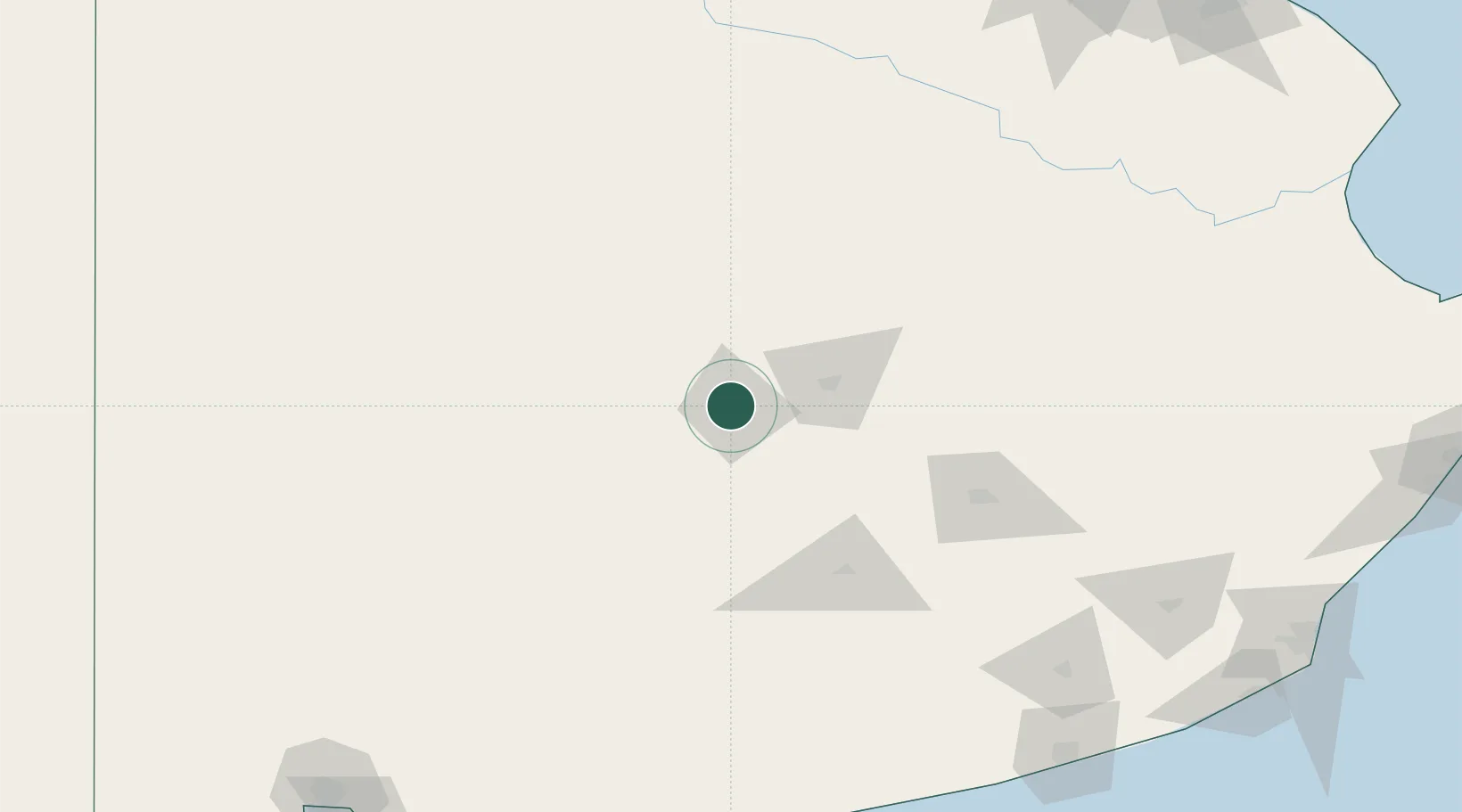
Location
Nearby Logistics Neighbours
Cities
- 1Azul43 km
- 2Villa Lynch97 km
- 3Daireaux130 km
- 4Herrera Vegas132 km
- 5Saladillo148 km
Ports
- 1Quequen237 km
- 2Bahia Blanca271 km
- 3Puerto Belgrano271 km
- 4Puerto Ingeniero White273 km
- 5Puerto Galvan273 km
Airports
- 1Héroes de Malvinas Airport106 km
- 2Tres Arroyos Airport167 km
- 3Comodoro Pedro Zanni Airport179 km
- 4Necochea Airport223 km
- 5Comandante Espora Airport261 km
Trade Zones
- 1Zona Franca Bahía Blanca265 km
- 2Zona Sur Buenos Aires299 km
- 3La Plata Free Trade Zone315 km
- 4General Pico Free Zone337 km
- 5Colonia Free Zone351 km
DatabookThe Record of Consolidated Knowledge
Argentina beyond logistics?