Medium airport · Argentina
Santa Rosa AirportSAZR
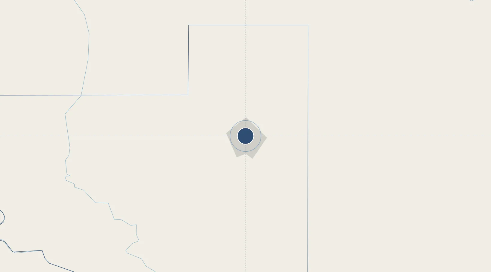
-36.5883°, -64.2757°
7,546 ft
Longest runway
1
Runways
630 ft
Elevation
Runway & Layout

Radio Frequencies
TWR
118.3 MHz
RDO
296.5 MHz
Navaids
OSA VOR-DME Santa Rosa 112.50 MHz
Runways · 1
| Runway | Dimensions | Surface | True heading | Lit |
|---|---|---|---|---|
| 1/19 | 7,546 × 98ft | Asphalt | 011° | ✓ |
Airport Specifications
IATA code
RSA
ICAO code
SAZR
Airport class
Medium airport
Scheduled service
Yes
Runway surface
Asphalt
Served city
Santa Rosa
Location
Nearby Logistics Neighbours
Airports
- 1General Pico Airport110 km
- 2Comodoro Pedro Zanni Airport232 km
- 3Comandante Espora Airport301 km
- 4Villa Reynolds Airport334 km
- 5Area De Material Airport390 km
Cities
- 1Daireaux226 km
- 2Piedritas236 km
- 3Villa Lynch260 km
- 4Herrera Vegas262 km
- 5Rufino295 km
Ports
- 1Puerto Galvan300 km
- 2Bahia Blanca301 km
- 3Puerto Nacional302 km
- 4Puerto Ingeniero White303 km
- 5Puerto Belgrano319 km
Trade Zones
- 1General Pico Free Zone110 km
- 2Zona Franca Bahía Blanca295 km
- 3Justo Daract Free Trade Zone317 km
- 4Zona Franca de San Luis317 km
- 5Zona Sur Buenos Aires565 km
DatabookThe Record of Consolidated Knowledge
Argentina beyond logistics?