Transport Functions
Rail
Road
Hub Profile
Place type
Provincial seat
Region
Buenos Aires
Time zone
America/Argentina/Buenos_Aires
Elevation
52 m
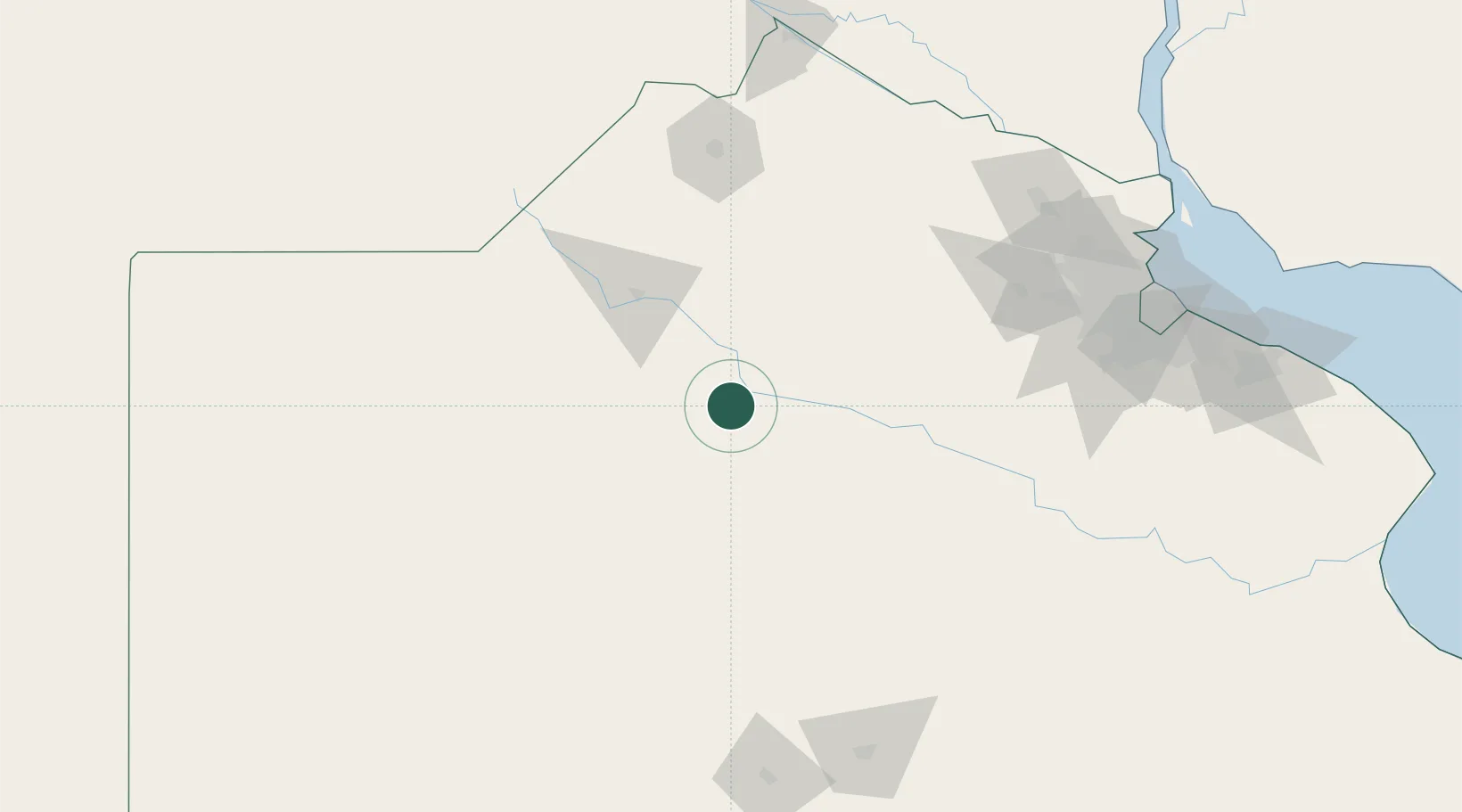
Location
Nearby Logistics Neighbours
Cities
- 1Alberti22 km
- 2Chivilcoy49 km
- 3Nueve de Julio51 km
- 4Chacabuco54 km
- 5Moquehuá64 km
Ports
- 1Zarate177 km
- 2Campana177 km
- 3San Pedro182 km
- 4Ramallo187 km
- 5Puerto Ibicuy194 km
Airports
Trade Zones
- 1Zona Sur Buenos Aires190 km
- 2Nueva Palmira Free Zone235 km
- 3La Plata Free Trade Zone238 km
- 4Montes de Plata Free Zone245 km
- 5Colonia Free Zone254 km
DatabookThe Record of Consolidated Knowledge
Argentina beyond logistics?