Channel & Berth Profile
Pilotage, Tugs & Services
Pilotage compulsoryYES
Pilotage advisableYES
Tug assistanceNO
Salvage tugsNO
Potable waterYES
Diesel bunkersYES
MedicalYES
Garbage disposalNO
Facilities & Capabilities
Container—
Ro-Ro—
Liquid bulk—
Dry bulk—
Oil terminal—
Break bulk—
Dry dock—
RepairsNO
BunkeringYES
Rail linkYES
Dangerous cargo—
ISPS security—
Harbour Specifications
Harbour size
Small
Harbour type
Coastal (Natural)
Shelter
Good
Water body
South Atlantic Ocean
Tidal range
2 m
Pilotage
Yes
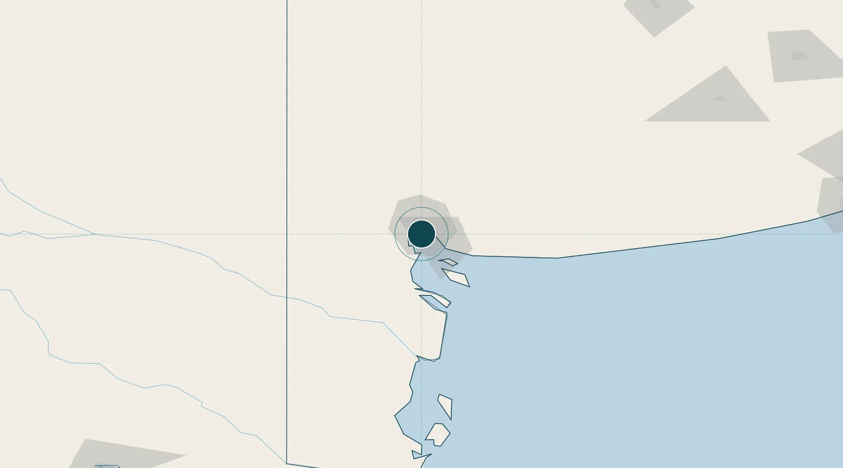
Location
Nearby Logistics Neighbours
Ports
- 1Puerto Nacional1 km
- 2Bahia Blanca2 km
- 3Puerto Galvan3 km
- 4Puerto Belgrano17 km
- 5Puerto Rosales23 km
Cities
- 1Bahía Blanca1 km
- 2Puerto Rosales/Bahia Blanca23 km
- 3Tres Arroyos179 km
- 4Daireaux249 km
- 5Villa Lynch257 km
Airports
- 1Comandante Espora Airport12 km
- 2Tres Arroyos Airport175 km
- 3Gobernador Castello Airport239 km
- 4Necochea Airport302 km
- 5Santa Rosa Airport303 km
Trade Zones
- 1Zona Franca Bahía Blanca10 km
- 2General Pico Free Zone372 km
- 3Zona Sur Buenos Aires571 km
- 4La Plata Free Trade Zone586 km
- 5Justo Daract Free Trade Zone611 km
DatabookThe Record of Consolidated Knowledge
Argentina beyond logistics?