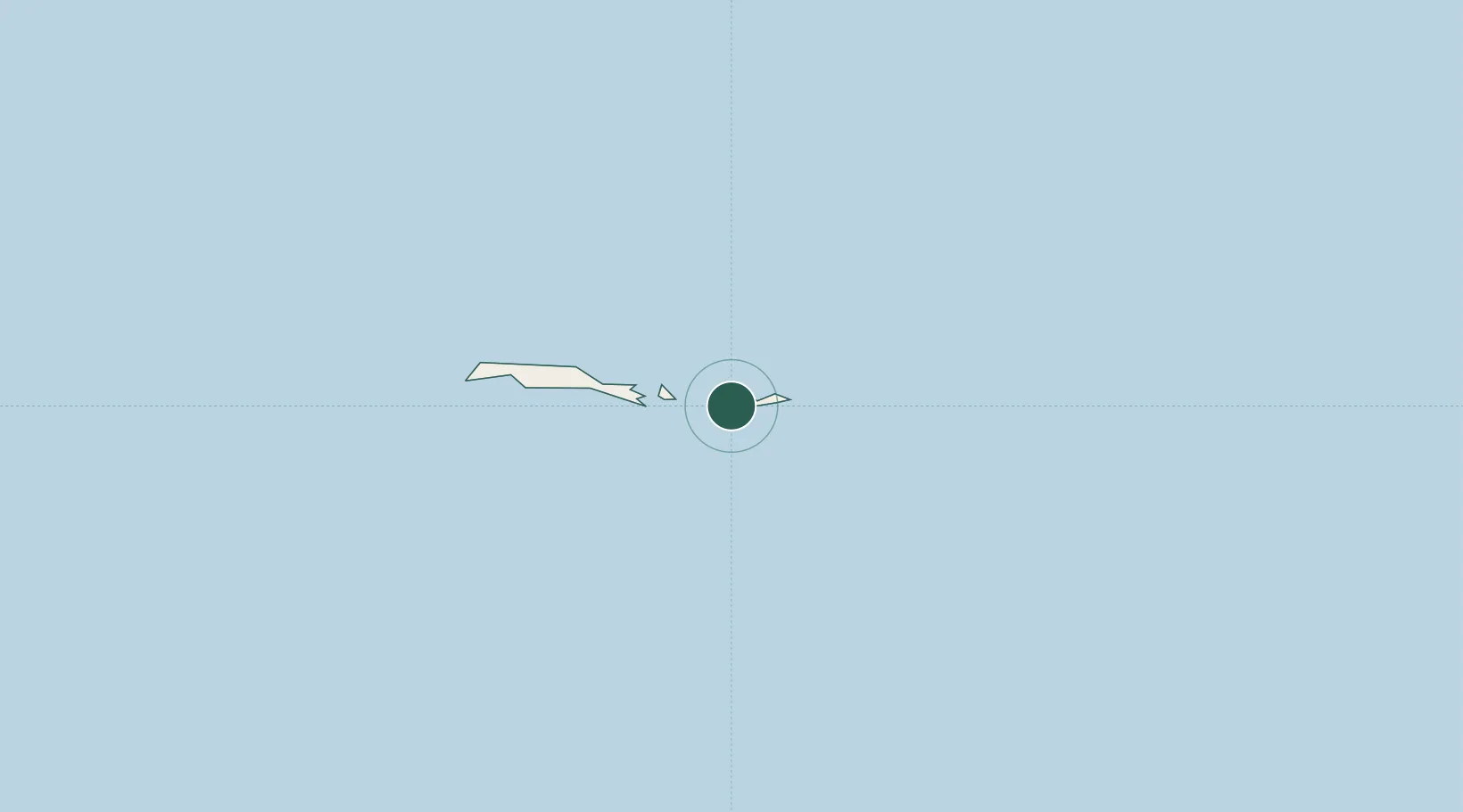
UN/LOCODE hub · Antarctica
AQORC

Orcadas

-60.7333°, -44.7333°
1
Transport functions

Transport Functions

Port
UN/LOCODE

Location

Location of AQORC
Natural Earth 10m (public domain) · Antarctica · AQORC · -60.73, -44.73GoogleOSMYandex

Nearby Logistics Neighbours

Cities
  1. 1Signy47 km
  2. 2Esperanza702 km
  3. 3Marambio724 km
  4. 4Comandante Ferraz740 km
  5. 5General Bernardo O'higgins743 km
Nearest neighbours — logibook spatial index (haversine) over the source coordinates
Ports
  1. 1Port Foster867 km
  2. 2Grytviken870 km
  3. 3Stanley1286 km
  4. 4Puerto Williams1489 km
  5. 5Rio Grande1570 km
Nearest neighbours — logibook spatial index (haversine) over the source coordinates
Airports
  1. 1Teniente Rodolfo Marsh Martin Airport773 km
  2. 2Port Stanley Airport1285 km
  3. 3Mount Pleasant Airport / RAF Mount Pleasant1298 km
  4. 4Guardia Marina Zañartu Airport1491 km
  5. 5Hermes Quijada International Airport1574 km
Nearest neighbours — logibook spatial index (haversine) over the source coordinates
Trade Zones
  1. 1Tierra del Fuego ProvInce Special Customs Area (SCA)1534 km
  2. 2Punta Arenas Free Trade Zone1780 km
  3. 3La Zona Franca Santa Cruz (ZFSC) - Río Gallegos1802 km
  4. 4La Zona Franca Santa Cruz (ZFSC) - Caleta Olivia2163 km
  5. 5Comodoro Free Trade Zone2218 km
Nearest neighbours — logibook spatial index (haversine) over the source coordinates
DatabookThe Record of Consolidated Knowledge
Antarctica beyond logistics?
Browse databook

All Sources

LocationsUN/LOCODE
UN/LOCODE — free
Portsthe NGA World Port Index
Public domain (US gov)
AirportsOurAirports
Public domain
Trade Zonesthe World Bank SEZ database
CC BY 4.0
Trade ZonesOpen Zone Map
CC BY
← Antarctica locations