Channel & Berth Profile
Pilotage, Tugs & Services
MedicalYES
Facilities & Capabilities
Container—
Ro-Ro—
Liquid bulk—
Dry bulk—
Oil terminal—
Break bulk—
Dry dock—
Repairs—
Bunkering—
Rail link—
Dangerous cargo—
ISPS security—
Harbour Specifications
Harbour size
Very Small
Harbour type
Coastal (Natural)
Shelter
Fair
Water body
South Atlantic Ocean
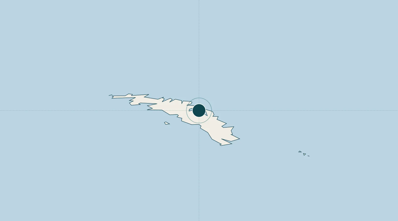
Location
Nearby Logistics Neighbours
Ports
- 1Stanley1451 km
- 2Mar Del Plata2407 km
- 3Quequen2416 km
- 4Jose Ignacio2570 km
- 5La Paloma2576 km
Cities
- 1Orcadas870 km
- 2Signy898 km
- 3Esperanza1543 km
- 4General Bernardo O'higgins1578 km
- 5Marambio1581 km
Airports
- 1Port Stanley Airport1447 km
- 2Mount Pleasant Airport / RAF Mount Pleasant1486 km
- 3Teniente Rodolfo Marsh Martin Airport1571 km
- 4Ástor Piazzola International Airport2418 km
- 5Necochea Airport2431 km
Trade Zones
- 1World Trade Center Free Zone2637 km
- 2Parque Las Ciencias Free Zone2640 km
- 3Parque de las Ciencias Free Zone2640 km
- 4Aguada Park Free Zone2640 km
- 5Zonamerica Free Zone2645 km
DatabookThe Record of Consolidated Knowledge
South Georgia & South Sandwich Islands beyond logistics?