Large airport · Falkland Islands

Mount Pleasant Airport / RAF Mount PleasantEGYP
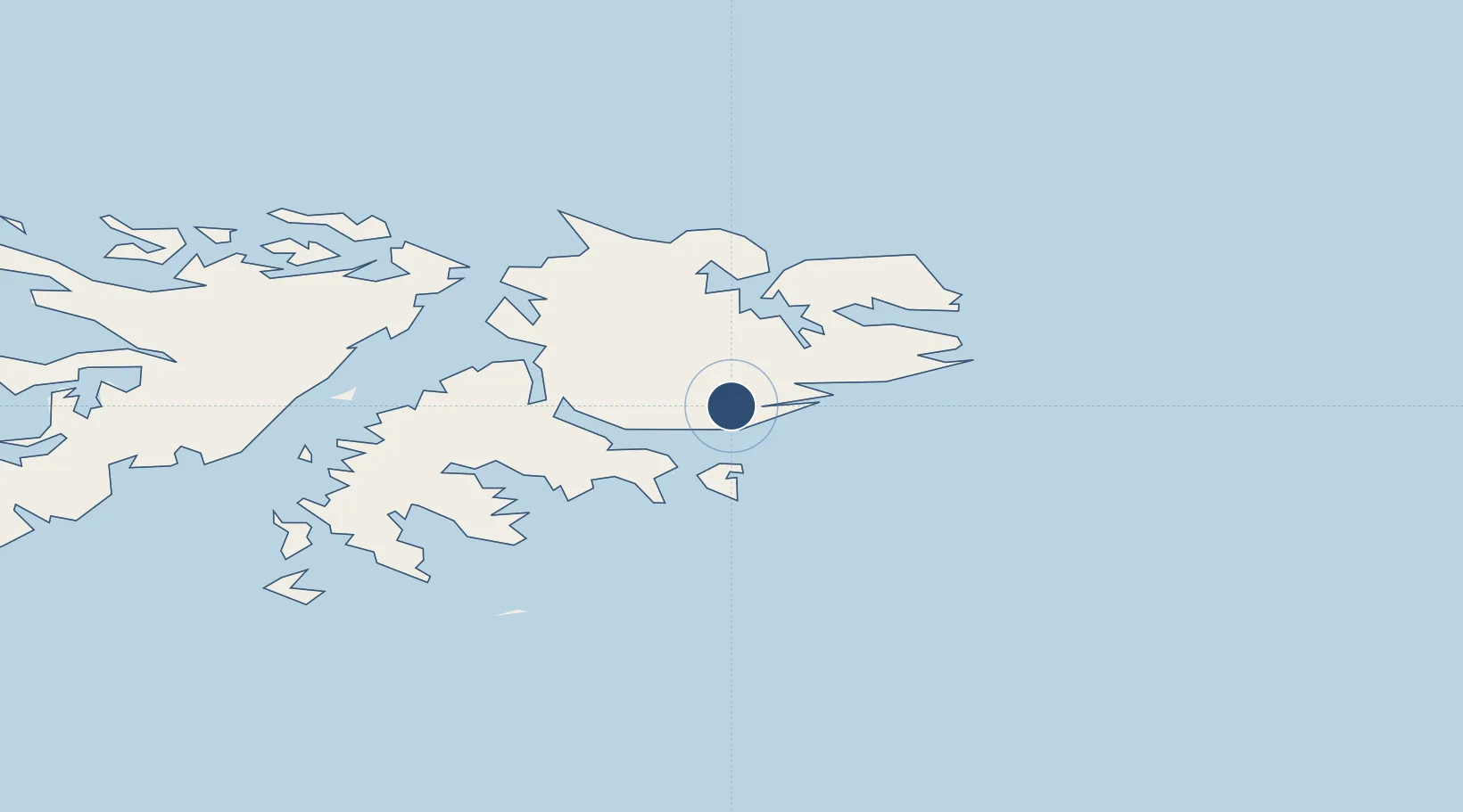
-51.8226°, -58.4458°
8,497 ft
Longest runway
2
Runways
244 ft
Elevation

Runway & Layout

Mount Pleasant Airport / RAF Mount Pleasant runway & taxiway layout
Runway & taxiway layout — OpenStreetMap (ODbL) / OurAirports

Radio Frequencies

TWR
133.35 MHz
GND
130.3 MHz
APP
118.5 MHz
ARR
131.5 MHz
ISLAND RDR
OurAirports

Navaids

MP NDB Mount Pleasant 380 kHz
MTP VOR Mount Pleasant 114.70 MHz
MTP TACAN Mount Pleasant 111.90 MHz
OurAirports

Runways · 2

RunwayDimensions SurfaceTrue headingLit
10/28 8,497 × 150ft Asphalt 105°
05/23 5,003 × 75ft Asphalt 055°
OurAirports

Airport Specifications

IATA code
MPN
OurAirports
ICAO code
EGYP
OurAirports
Airport class
Large airport
OurAirports
Scheduled service
Yes
OurAirports
Runway surface
Asphalt
OurAirports
Served city
Mount Pleasant
OurAirports

Location

Location of EGYP
Natural Earth 10m (public domain) · Falkland Islands · EGYP · -51.82, -58.45GoogleOSMYandex

Nearby Logistics Neighbours

Airports
  1. 1Port Stanley Airport48 km
  2. 2Hermes Quijada International Airport662 km
  3. 3Guardia Marina Zañartu Airport699 km
  4. 4Puerto Deseado Airport702 km
  5. 5Capitan D Daniel Vazquez Airport717 km
Nearest neighbours — logibook spatial index (haversine) over the source coordinates
Cities
  1. 1Naschel486 km
  2. 2Río Grande659 km
  3. 3Rio Cullen670 km
  4. 4San Sebastián696 km
  5. 5Puerto Williams698 km
Nearest neighbours — logibook spatial index (haversine) over the source coordinates
Ports
  1. 1Stanley44 km
  2. 2Rio Grande658 km
  3. 3San Sebastian Bay696 km
  4. 4Puerto Williams698 km
  5. 5Puerto Deseado700 km
Nearest neighbours — logibook spatial index (haversine) over the source coordinates
DatabookThe Record of Consolidated Knowledge
Falkland Islands beyond logistics?
Browse databook

All Sources

AirportsOurAirports
Public domain
Portsthe NGA World Port Index
Public domain (US gov)
LocationsUN/LOCODE
UN/LOCODE — free
Trade Zonesthe World Bank SEZ database
CC BY 4.0
Trade ZonesOpen Zone Map
CC BY
InfrastructureOpenStreetMap
ODbL 1.0
← Falkland Islands airports