Small airport · Antarctica

Teniente Rodolfo Marsh Martin AirportSCRM
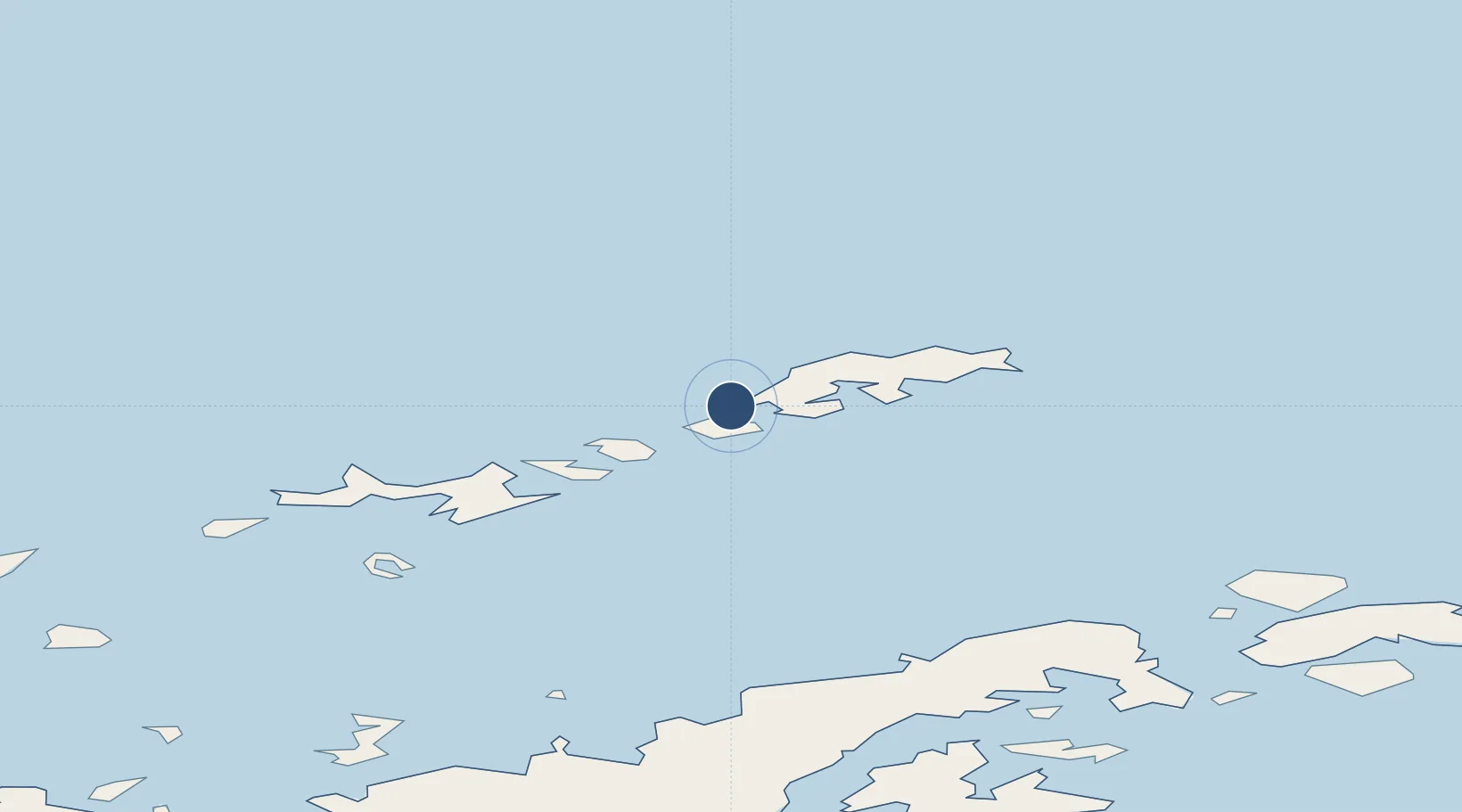
-62.1910°, -58.9867°
4,238 ft
Longest runway
1
Runways
147 ft
Elevation

Runway & Layout

Teniente Rodolfo Marsh Martin Airport runway & taxiway layout
Runway & taxiway layout — OpenStreetMap (ODbL) / OurAirports

Radio Frequencies

TWR
118.1 MHz
APP
118.1 MHz
MARSH APP
OurAirports

Navaids

IRJ VOR-DME Isla Rey Jorge 113.30 MHz
IRJ NDB Isla Rey Jorge 360 kHz
OurAirports

Runways · 1

RunwayDimensions SurfaceTrue headingLit
11/29 4,238 × 125ft Graded earth 122°
OurAirports

Airport Specifications

IATA code
TNM
OurAirports
ICAO code
SCRM
OurAirports
Airport class
Small airport
OurAirports
Scheduled service
Yes
OurAirports
Runway surface
Graded earth
OurAirports
Served city
Villa Las Estrellas
OurAirports

Location

Location of SCRM
Natural Earth 10m (public domain) · Antarctica · SCRM · -62.19, -58.99GoogleOSMYandex

Nearby Logistics Neighbours

Airports
  1. 1Guardia Marina Zañartu Airport948 km
  2. 2Ushuaia - Malvinas Argentinas International Airport978 km
  3. 3Hermes Quijada International Airport1067 km
  4. 4Mount Pleasant Airport / RAF Mount Pleasant1153 km
  5. 5Port Stanley Airport1170 km
Nearest neighbours — logibook spatial index (haversine) over the source coordinates
Cities
  1. 1Bellingshausen2 km
  2. 2Escudero2 km
  3. 3Great Wall3 km
  4. 4Artigas5 km
  5. 5King Sejong11 km
Nearest neighbours — logibook spatial index (haversine) over the source coordinates
Ports
  1. 1Port Foster119 km
  2. 2Puerto Williams947 km
  3. 3Ushuaia980 km
  4. 4Rio Grande1064 km
  5. 5San Sebastian Bay1149 km
Nearest neighbours — logibook spatial index (haversine) over the source coordinates
Trade Zones
  1. 1Tierra del Fuego ProvInce Special Customs Area (SCA)982 km
  2. 2Punta Arenas Free Trade Zone1226 km
  3. 3La Zona Franca Santa Cruz (ZFSC) - Río Gallegos1318 km
  4. 4La Zona Franca Santa Cruz (ZFSC) - Caleta Olivia1830 km
  5. 5Comodoro Free Trade Zone1892 km
Nearest neighbours — logibook spatial index (haversine) over the source coordinates
DatabookThe Record of Consolidated Knowledge
Antarctica beyond logistics?
Browse databook

All Sources

AirportsOurAirports
Public domain
Portsthe NGA World Port Index
Public domain (US gov)
LocationsUN/LOCODE
UN/LOCODE — free
Trade Zonesthe World Bank SEZ database
CC BY 4.0
Trade ZonesOpen Zone Map
CC BY
← Antarctica airports