Transport Functions
Port
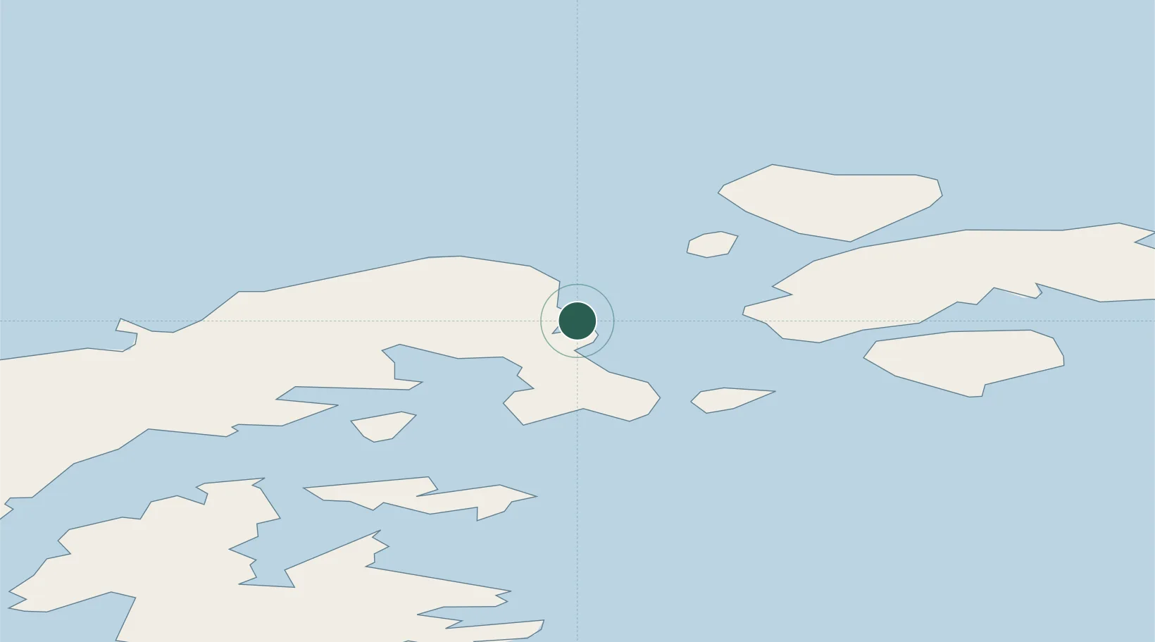
Location
Nearby Logistics Neighbours
Cities
- 1General Bernardo O'higgins46 km
- 2Marambio96 km
- 3Jubany153 km
- 4Arctowski157 km
- 5King Sejong159 km
Ports
- 1Port Foster189 km
- 2Puerto Williams1115 km
- 3Ushuaia1148 km
- 4Rio Grande1231 km
- 5Stanley1300 km
Airports
Trade Zones
DatabookThe Record of Consolidated Knowledge
Antarctica beyond logistics?