UN/LOCODE hub · Antarctica
AQOHG

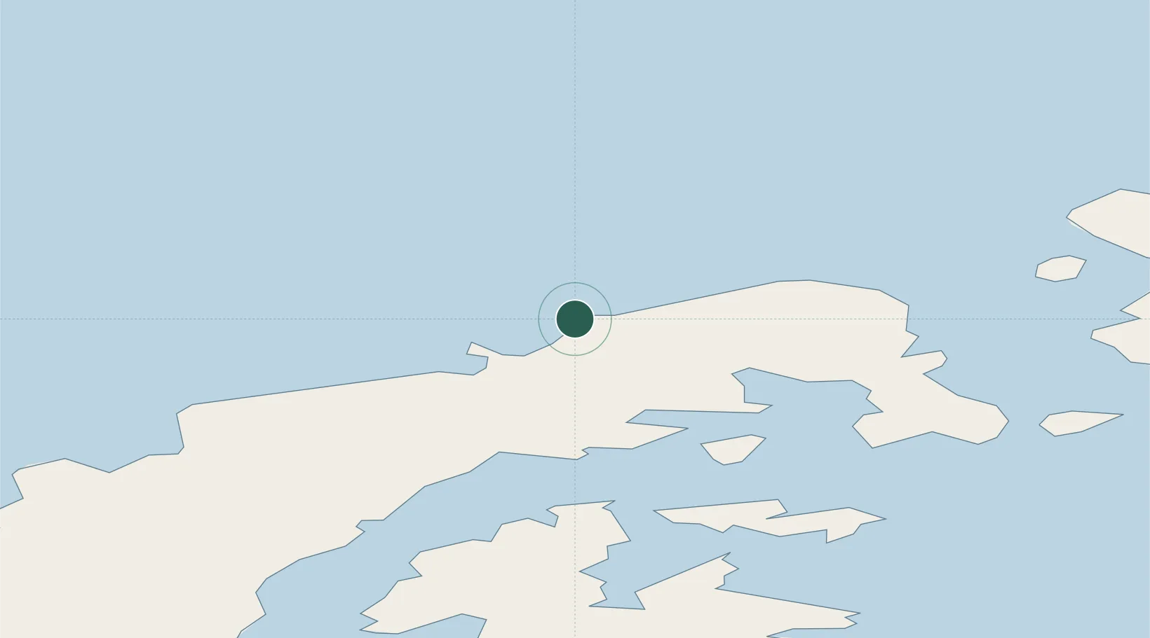
General Bernardo O'higgins

-63.3167°, -57.9000°
1
Transport functions

Transport Functions

Port
UN/LOCODE

Location

Location of AQOHG
Natural Earth 10m (public domain) · AQOHG · -63.32, -57.90GoogleOSMYandex

Nearby Logistics Neighbours

Cities
  1. 1Esperanza46 km
  2. 2Marambio119 km
  3. 3Jubany126 km
  4. 4Arturo Prat128 km
  5. 5King Sejong130 km
Nearest neighbours — logibook spatial index (haversine) over the source coordinates
Ports
  1. 1Port Foster143 km
  2. 2Puerto Williams1082 km
  3. 3Ushuaia1114 km
  4. 4Rio Grande1199 km
  5. 5San Sebastian Bay1284 km
Nearest neighbours — logibook spatial index (haversine) over the source coordinates
Airports
  1. 1Teniente Rodolfo Marsh Martin Airport137 km
  2. 2Guardia Marina Zañartu Airport1083 km
  3. 3Ushuaia - Malvinas Argentinas International Airport1111 km
  4. 4Hermes Quijada International Airport1202 km
  5. 5Mount Pleasant Airport / RAF Mount Pleasant1279 km
Nearest neighbours — logibook spatial index (haversine) over the source coordinates
Trade Zones
  1. 1Tierra del Fuego ProvInce Special Customs Area (SCA)1115 km
  2. 2Punta Arenas Free Trade Zone1358 km
  3. 3La Zona Franca Santa Cruz (ZFSC) - Río Gallegos1454 km
  4. 4La Zona Franca Santa Cruz (ZFSC) - Caleta Olivia1966 km
  5. 5Comodoro Free Trade Zone2029 km
Nearest neighbours — logibook spatial index (haversine) over the source coordinates
DatabookThe Record of Consolidated Knowledge
Antarctica beyond logistics?
Browse databook

All Sources

LocationsUN/LOCODE
UN/LOCODE — free
Portsthe NGA World Port Index
Public domain (US gov)
AirportsOurAirports
Public domain
Trade Zonesthe World Bank SEZ database
CC BY 4.0
Trade ZonesOpen Zone Map
CC BY
← Antarctica locations