Transport Functions
Port
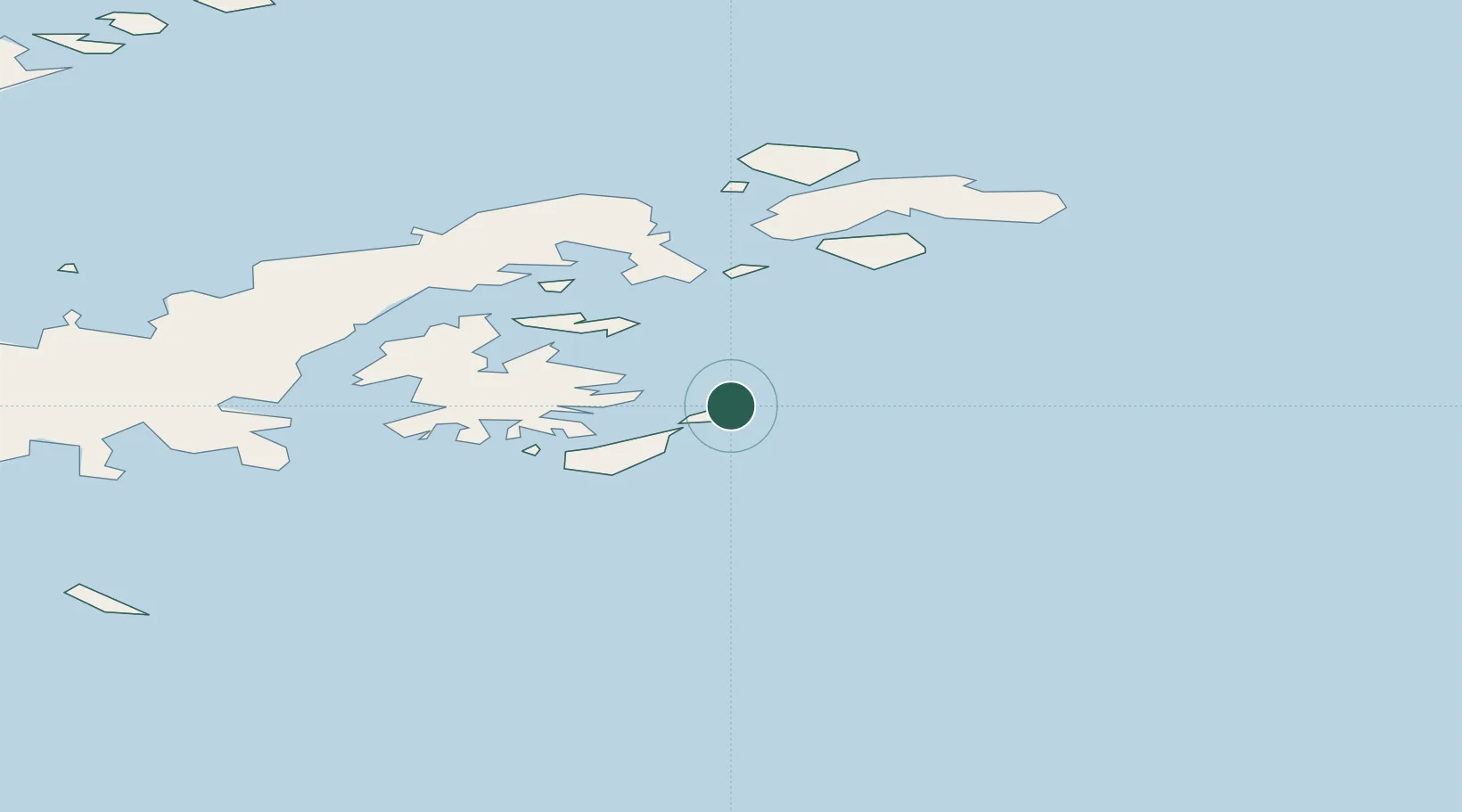
Location
Nearby Logistics Neighbours
Cities
- 1Esperanza96 km
- 2General Bernardo O'higgins119 km
- 3Port Foster237 km
- 4Jubany244 km
- 5Arturo Prat245 km
Ports
- 1Port Foster243 km
- 2Puerto Williams1200 km
- 3Ushuaia1232 km
- 4Rio Grande1318 km
- 5Stanley1395 km
Airports
Trade Zones
DatabookThe Record of Consolidated Knowledge
Antarctica beyond logistics?