Transport Functions
Port
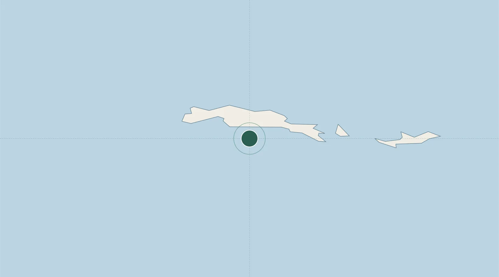
Location
Nearby Logistics Neighbours
Cities
- 1Orcadas47 km
- 2Esperanza662 km
- 3Marambio688 km
- 4Comandante Ferraz696 km
- 5Arctowski701 km
Ports
- 1Port Foster825 km
- 2Grytviken898 km
- 3Stanley1252 km
- 4Puerto Williams1443 km
- 5Rio Grande1525 km
Airports
Trade Zones
DatabookThe Record of Consolidated Knowledge
Antarctica beyond logistics?