Small airport · Falkland Islands

Port Stanley AirportSFAL
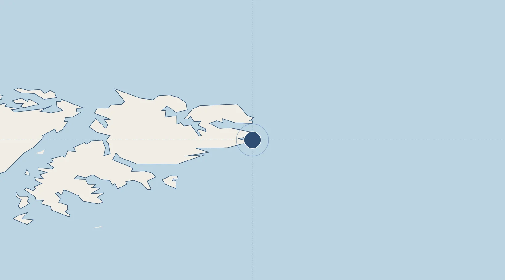
-51.6857°, -57.7776°
3,013 ft
Longest runway
2
Runways
75 ft
Elevation

Runway & Layout

Port Stanley Airport runway & taxiway layout
Runway & taxiway layout — OpenStreetMap (ODbL) / OurAirports

Radio Frequencies

TWR
118.1 MHz
RDO
558 MHz
OurAirports

Navaids

SA NDB Stanley 305 kHz
OurAirports

Runways · 2

RunwayDimensions SurfaceTrue headingLit
09/27 3,013 × 63ft Asphalt 089°
18/36 1,110 × 42ft Asphalt 180°
OurAirports

Airport Specifications

IATA code
PSY
OurAirports
ICAO code
SFAL
OurAirports
Airport class
Small airport
OurAirports
Scheduled service
Yes
OurAirports
Runway surface
Asphalt
OurAirports
Served city
Stanley
OurAirports

Location

Location of SFAL
Natural Earth 10m (public domain) · Falkland Islands · SFAL · -51.69, -57.78GoogleOSMYandex

Nearby Logistics Neighbours

Airports
  1. 1Mount Pleasant Airport / RAF Mount Pleasant48 km
  2. 2Hermes Quijada International Airport710 km
  3. 3Puerto Deseado Airport730 km
  4. 4Guardia Marina Zañartu Airport746 km
  5. 5Capitan D Daniel Vazquez Airport756 km
Nearest neighbours — logibook spatial index (haversine) over the source coordinates
Cities
  1. 1Naschel535 km
  2. 2Río Grande707 km
  3. 3Rio Cullen719 km
  4. 4Puerto Deseado729 km
  5. 5San Sebastián745 km
Nearest neighbours — logibook spatial index (haversine) over the source coordinates
Ports
  1. 1Stanley4 km
  2. 2Rio Grande706 km
  3. 3Puerto Deseado729 km
  4. 4San Sebastian Bay745 km
  5. 5Puerto Williams745 km
Nearest neighbours — logibook spatial index (haversine) over the source coordinates
DatabookThe Record of Consolidated Knowledge
Falkland Islands beyond logistics?
Browse databook

All Sources

AirportsOurAirports
Public domain
Portsthe NGA World Port Index
Public domain (US gov)
LocationsUN/LOCODE
UN/LOCODE — free
Trade Zonesthe World Bank SEZ database
CC BY 4.0
Trade ZonesOpen Zone Map
CC BY
InfrastructureOpenStreetMap
ODbL 1.0
← Falkland Islands airports