Seaport · Falkland Islands
StanleyFKPSY
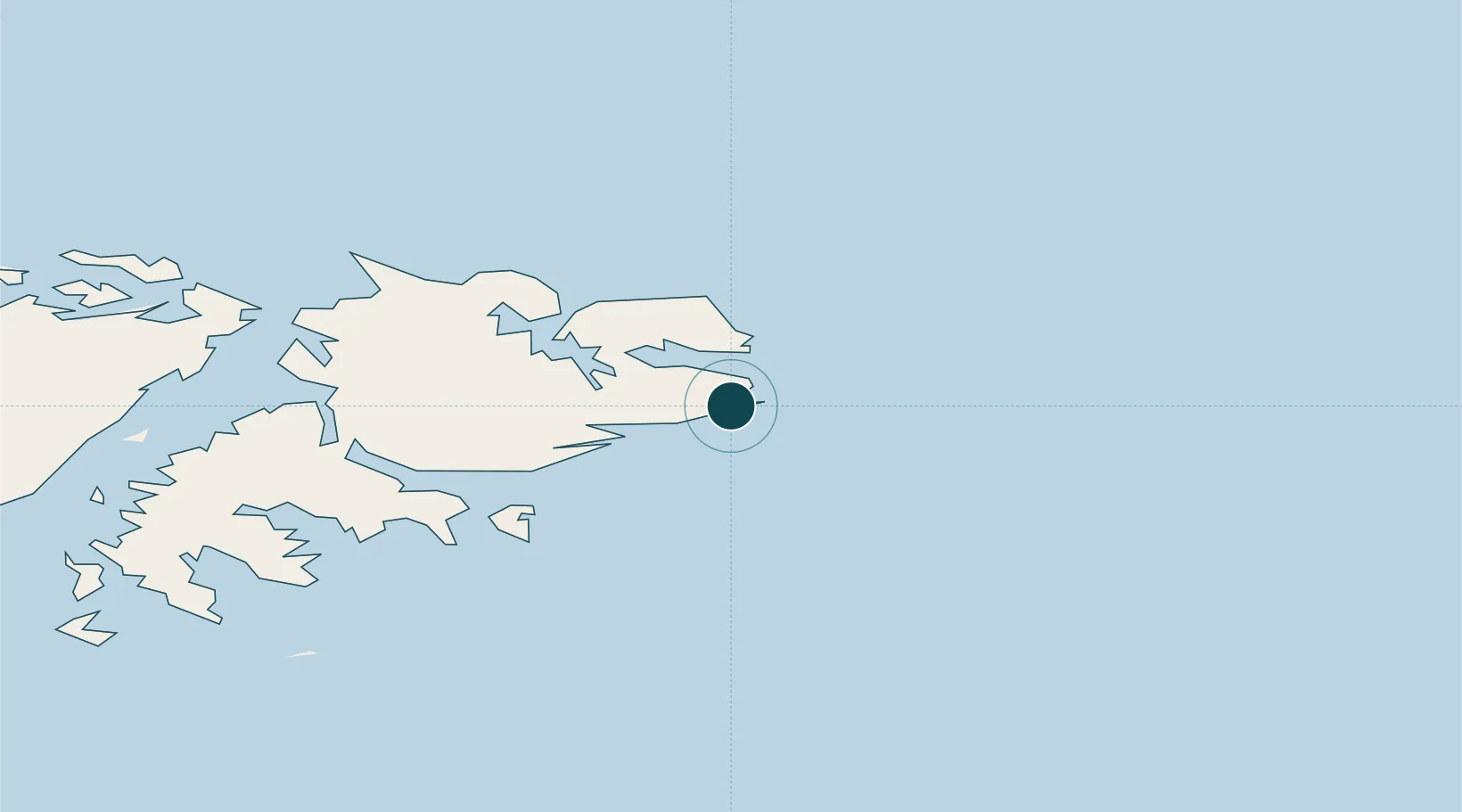
-51.7000°, -57.8333°
7.9 m
Channel depth
8.1
Port liner connectivity
Channel & Berth Profile
Pilotage, Tugs & Services
Pilotage compulsoryNO
Pilotage availableYES
Pilotage advisableYES
Tug assistanceNO
Salvage tugsNO
Shore powerYES
Potable waterYES
MedicalYES
Garbage disposalYES
Facilities & Capabilities
Container—
Ro-Ro—
Liquid bulk—
Dry bulk—
Oil terminal—
Break bulk—
Dry dock—
RepairsNO
BunkeringYES
Rail link—
Dangerous cargo—
ISPS security—
Harbour Specifications
Harbour size
Medium
Harbour type
Coastal (Natural)
Shelter
Good
Water body
South Atlantic Ocean
Tidal range
2 m
Pilotage
No
Liner Connectivity
8.1
PLSCI
Port Liner Shipping Connectivity Index for Stanley, as published by UNCTAD for the latest available quarter. Higher values indicate stronger scheduled liner-shipping integration.
Shown relative to the highest per-port PLSCI in the dataset (1,657.9).
Location
Nearby Logistics Neighbours
Ports
- 1Rio Grande702 km
- 2Puerto Deseado727 km
- 3San Sebastian Bay741 km
- 4Puerto Williams741 km
- 5Puerto San Julian746 km
Cities
- 1Naschel531 km
- 2Río Grande703 km
- 3Rio Cullen715 km
- 4Puerto Deseado727 km
- 5San Sebastián741 km
Airports
DatabookThe Record of Consolidated Knowledge
Falkland Islands beyond logistics?