Transport Functions
Port
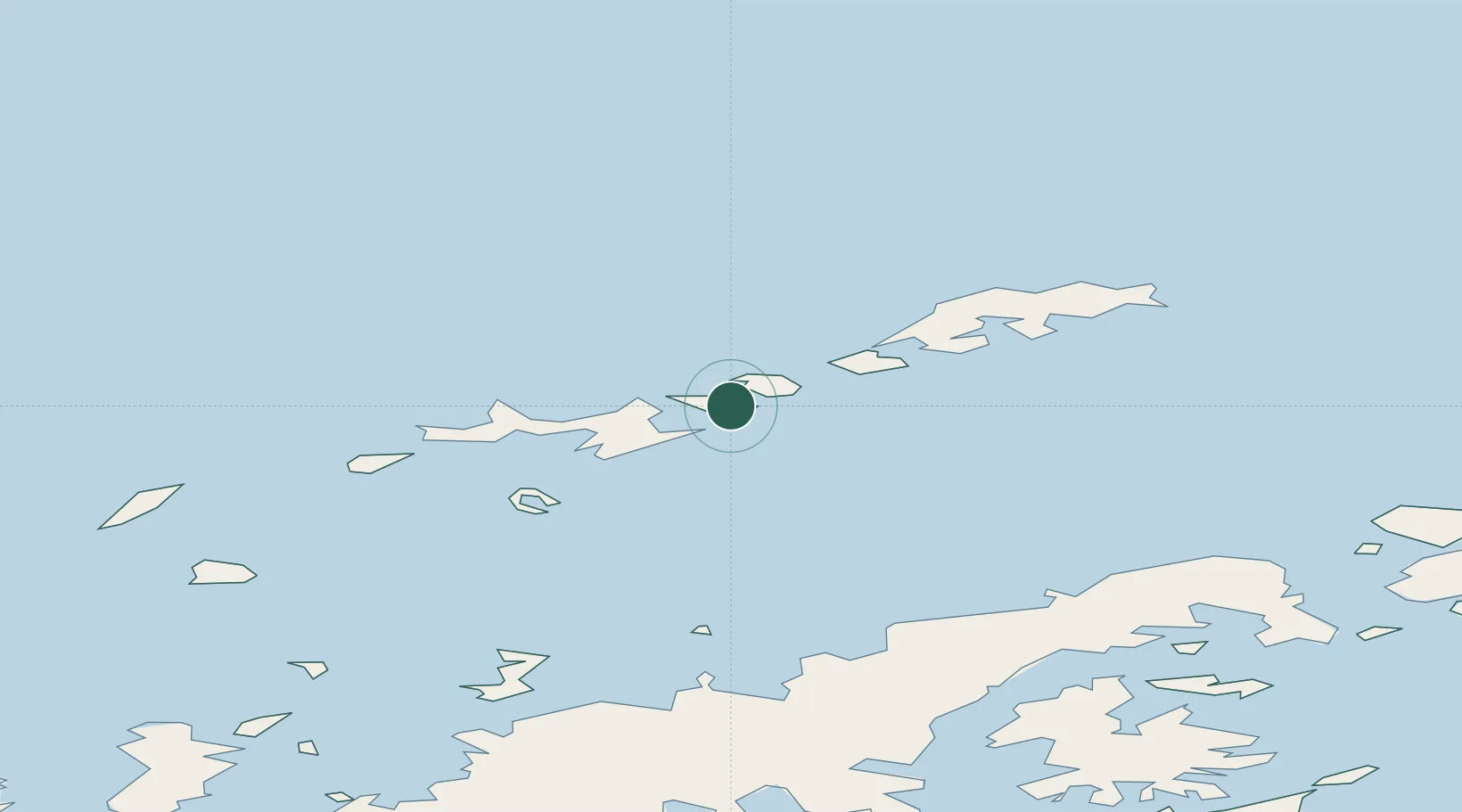
Location
Nearby Logistics Neighbours
Cities
- 1Juan Carlos Primero40 km
- 2Great Wall49 km
- 3Escudero50 km
- 4Bellingshausen52 km
- 5Artigas54 km
Ports
- 1Port Foster70 km
- 2Puerto Williams956 km
- 3Ushuaia987 km
- 4Rio Grande1075 km
- 5San Sebastian Bay1159 km
Airports
Trade Zones
DatabookThe Record of Consolidated Knowledge
Antarctica beyond logistics?