Transport Functions
Port
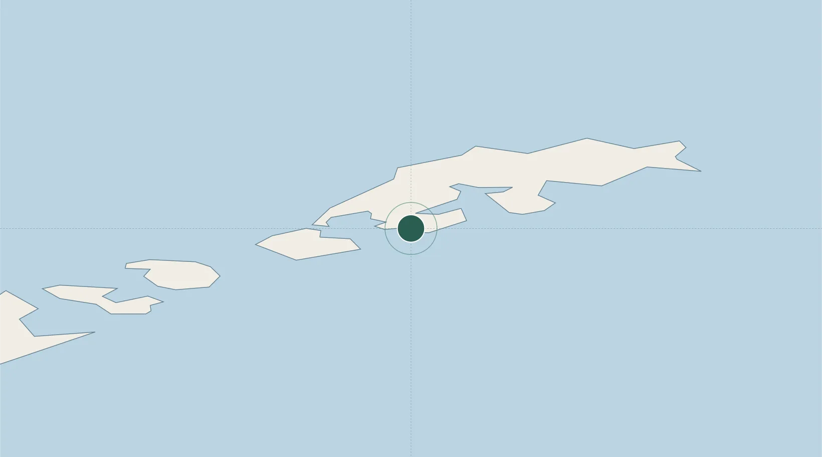
Location
Nearby Logistics Neighbours
Cities
- 1King Sejong7 km
- 2Arctowski13 km
- 3Artigas14 km
- 4Escudero16 km
- 5Great Wall17 km
Ports
- 1Port Foster129 km
- 2Puerto Williams961 km
- 3Ushuaia995 km
- 4Rio Grande1078 km
- 5San Sebastian Bay1163 km
Airports
Trade Zones
DatabookThe Record of Consolidated Knowledge
Antarctica beyond logistics?