Transport Functions
Port
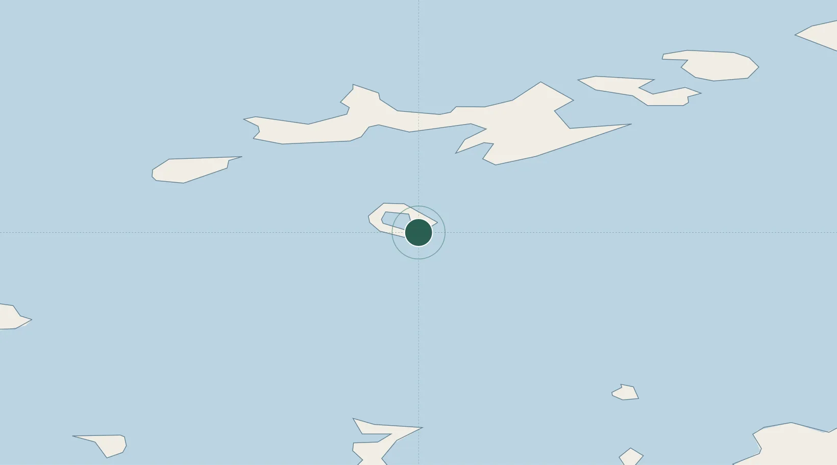
Location
Nearby Logistics Neighbours
Cities
- 1Juan Carlos Primero40 km
- 2Arturo Prat72 km
- 3Great Wall120 km
- 4Escudero122 km
- 5Bellingshausen123 km
Ports
- 1Puerto Williams982 km
- 2Ushuaia1011 km
- 3Rio Grande1104 km
- 4San Sebastian Bay1187 km
- 5Rada Punta Arenas1247 km
Airports
Trade Zones
DatabookThe Record of Consolidated Knowledge
Antarctica beyond logistics?