Small airport · Iran

Parsabad-Moghan AirportOITP
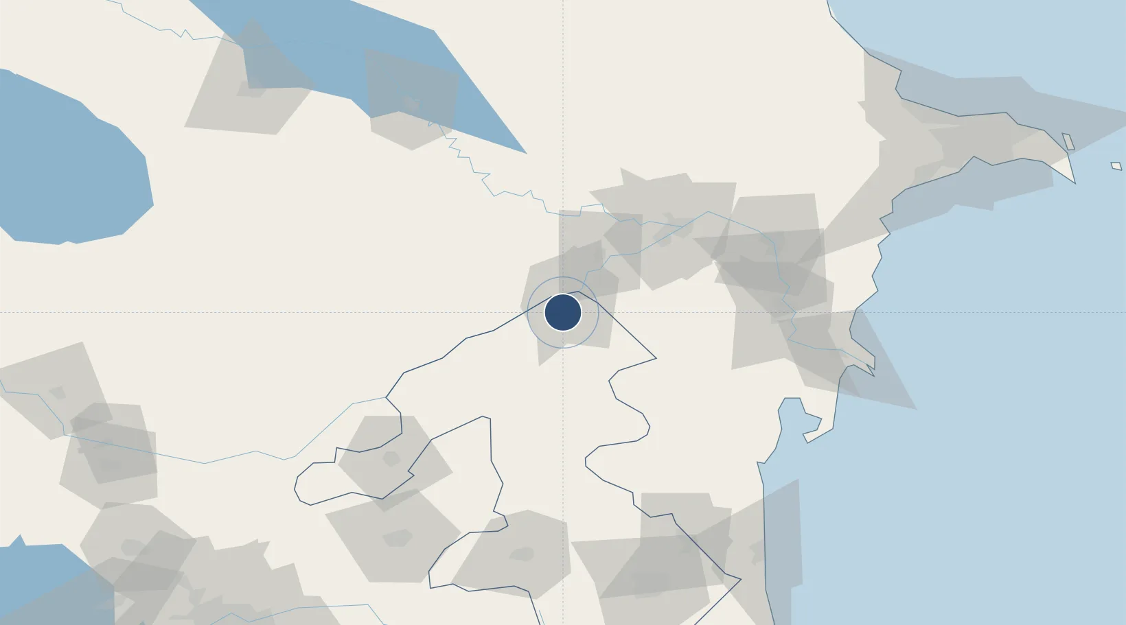
39.6036°, 47.8815°
8,515 ft
Longest runway
1
Runways
251 ft
Elevation

Runway & Layout

Parsabad-Moghan Airport runway & taxiway layout
Runway & taxiway layout — OpenStreetMap (ODbL) / OurAirports

Radio Frequencies

AFIS
122.8 MHz
INFO
OurAirports

Navaids

MM NDB Parsabade Moghan 338 kHz
PAD NDB Parsabade Moghan 413 kHz
OurAirports

Runways · 1

RunwayDimensions SurfaceTrue headingLit
11/29 8,515 × 115ft Asphalt 111°
OurAirports

Airport Specifications

IATA code
PFQ
OurAirports
ICAO code
OITP
OurAirports
Airport class
Small airport
OurAirports
Scheduled service
Yes
OurAirports
Runway surface
Asphalt
OurAirports
Served city
Parsabad
OurAirports

Location

Location of OITP
Natural Earth 10m (public domain) · Ardebil · OITP · 39.60, 47.88GoogleOSMYandex

Nearby Logistics Neighbours

Airports
  1. 1Kyurdamir Air Base78 km
  2. 2Khojaly Airport99 km
  3. 3Qizilagach Air Base104 km
  4. 4Lankaran International Airport123 km
  5. 5Gabala International Airport135 km
Nearest neighbours — logibook spatial index (haversine) over the source coordinates
Cities
  1. 1Quba78 km
  2. 2Shirvan95 km
  3. 3Goris133 km
  4. 4Alat135 km
  5. 5Sangachal152 km
Nearest neighbours — logibook spatial index (haversine) over the source coordinates
Ports
  1. 1Batumi573 km
  2. 2Hopa584 km
  3. 3Supsa Marine Terminal588 km
  4. 4Rize645 km
  5. 5Sokhumi688 km
Nearest neighbours — logibook spatial index (haversine) over the source coordinates
Trade Zones
  1. 1Sabirabad Industrial Estate66 km
  2. 2Masalli Industrial Estate92 km
  3. 3Hajigabul Industrial Estate101 km
  4. 4Neftchala Industrial Estate118 km
  5. 5Namin Special Economic Zone141 km
Nearest neighbours — logibook spatial index (haversine) over the source coordinates
DatabookThe Record of Consolidated Knowledge
Iran beyond logistics?
Browse databook

All Sources

AirportsOurAirports
Public domain
Portsthe NGA World Port Index
Public domain (US gov)
LocationsUN/LOCODE
UN/LOCODE — free
Trade Zonesthe World Bank SEZ database
CC BY 4.0
Trade ZonesOpen Zone Map
CC BY
InfrastructureOpenStreetMap
ODbL 1.0
← Iran airports