Large airport · Azerbaijan
Ganja International AirportUBBG
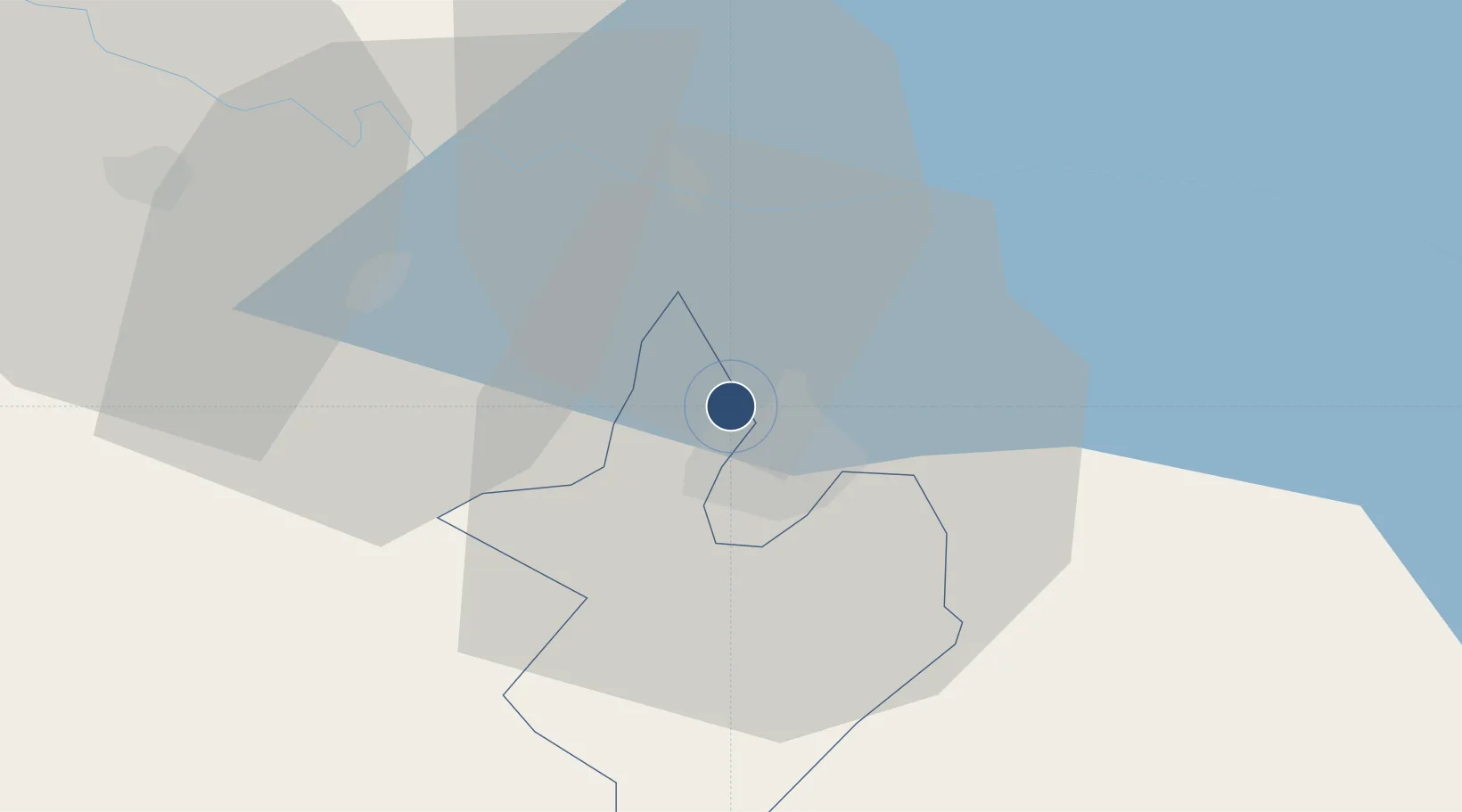
40.7387°, 46.3204°
10,827 ft
Longest runway
1
Runways
1,083 ft
Elevation
Runway & Layout

Radio Frequencies
ATIS
119.25 MHz
TWR
124 MHz
APP
124 MHz
Navaids
KM NDB Gyandzha 486 kHz
ZW NDB Gyandzha 486 kHz
Runways · 1
| Runway | Dimensions | Surface | True heading | Lit |
|---|---|---|---|---|
| 12/30 | 10,827 × 148ft | Concrete | 128° | ✓ |
Airport Specifications
IATA code
GNJ
ICAO code
UBBG
Airport class
Large airport
Scheduled service
Yes
Runway surface
Concrete
Served city
Ganja
Location
Nearby Logistics Neighbours
Airports
- 1Dollyar Air Base35 km
- 2Bolshiye Shiraki Air Base71 km
- 3Zaqatala International Airport96 km
- 4Khojaly Airport101 km
- 5Gabala International Airport119 km
Ports
- 1Batumi404 km
- 2Supsa Marine Terminal413 km
- 3Hopa419 km
- 4Rize489 km
- 5Sokhumi507 km
Trade Zones
- 1Mingachevir Industrial Park63 km
- 2Mingachevir High Technologies Park63 km
- 3Ecos Free Economic Zone135 km
- 4Jrvezh Engineering City159 km
- 5Alliance Free Zone166 km
DatabookThe Record of Consolidated Knowledge
Azerbaijan beyond logistics?