Medium airport · Azerbaijan
Khojaly AirportUB13
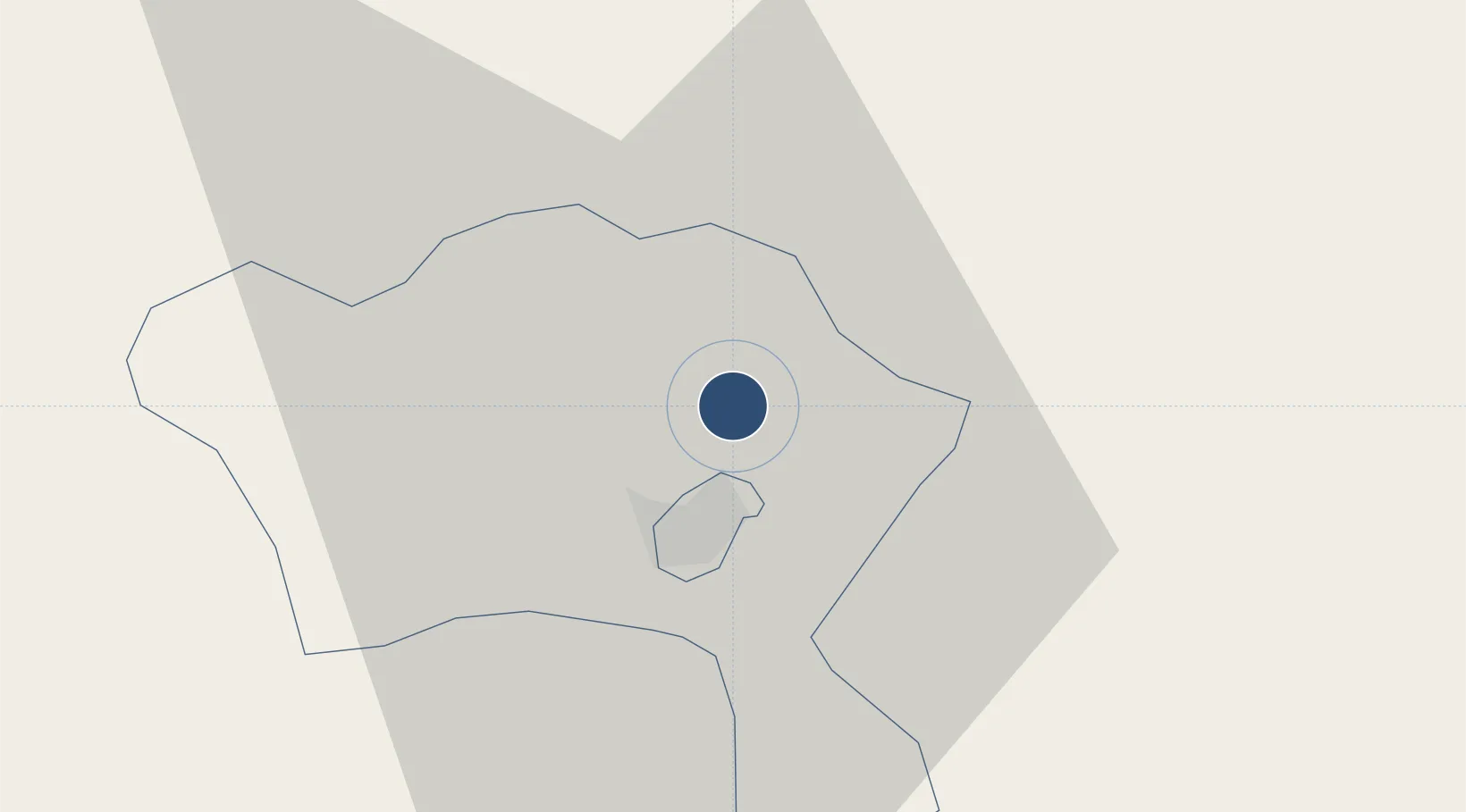
39.9014°, 46.7870°
7,145 ft
Longest runway
1
Runways
2,001 ft
Elevation
Runway & Layout

Runways · 1
| Runway | Dimensions | Surface | True heading | Lit |
|---|---|---|---|---|
| 05/23 | 7,145 × 120ft | Asphalt | 059° | — |
Airport Specifications
ICAO code
UBBS
Airport class
Medium airport
Scheduled service
No
Runway surface
Asphalt
Served city
Khojaly
Location
Nearby Logistics Neighbours
Airports
- 1Parsabad-Moghan Airport99 km
- 2Ganja International Airport101 km
- 3Kyurdamir Air Base124 km
- 4Gabala International Airport128 km
- 5Dollyar Air Base130 km
Ports
- 1Batumi474 km
- 2Hopa485 km
- 3Supsa Marine Terminal491 km
- 4Rize546 km
- 5Sokhumi593 km
Trade Zones
DatabookThe Record of Consolidated Knowledge
Azerbaijan beyond logistics?