Specialized Zone · Azerbaijan

Mingachevir Industrial Park Active
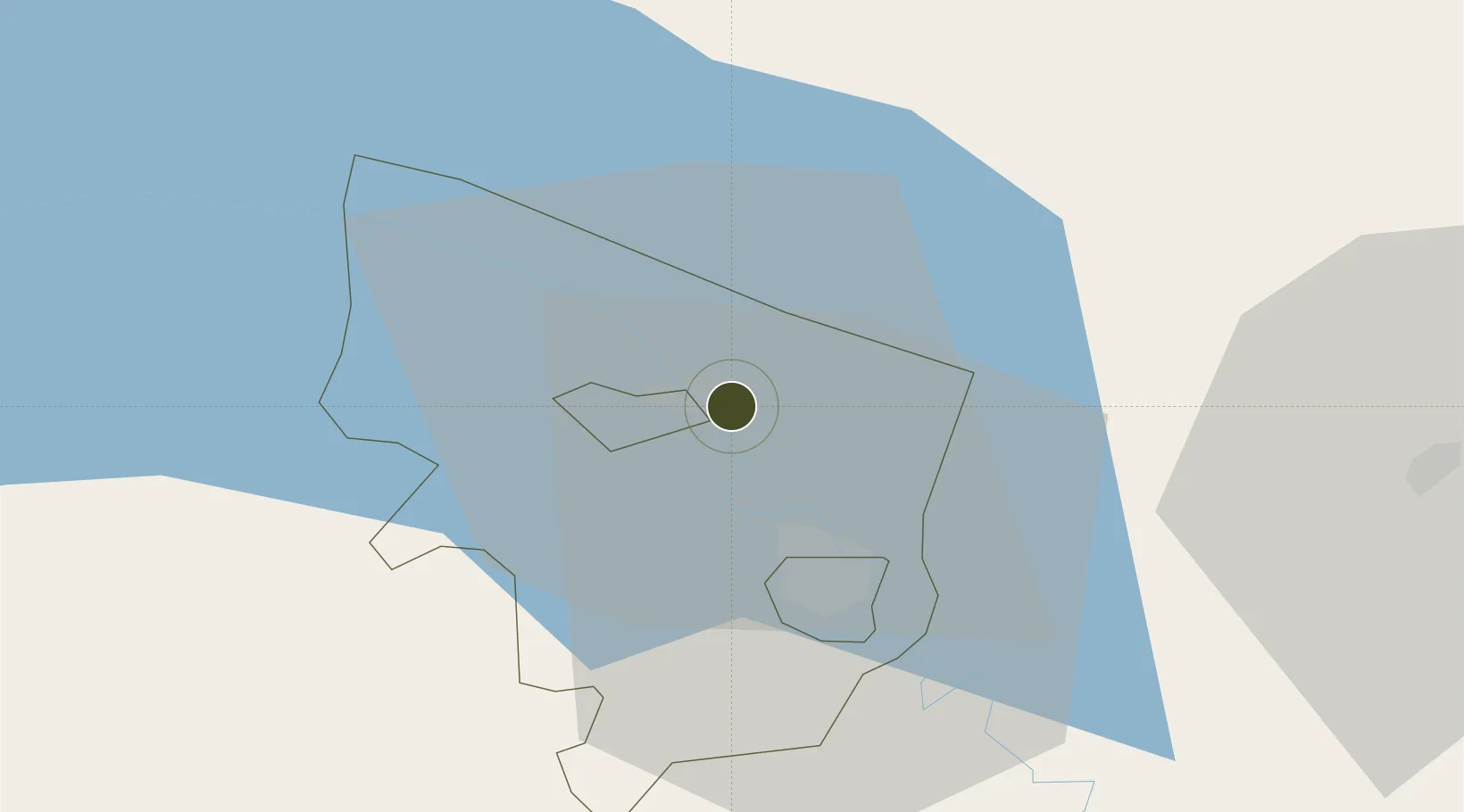
40.7617°, 47.0662°
26 ha
Zone area
463.7 km
Nearest port
55.7 km
Nearest airport

Gateway access

Nearest neighbours — logibook spatial index (haversine) over the source coordinates

Zone profile

Zone type
Specialized Zone
Open Zone Map
Specialization
Textiles
Open Zone Map
Region
Yevlakh Rayon
Open Zone Map
Status
Active
Open Zone Map
Management
Public-Private Partnership
Open Zone Map
Operator
Sumgait Chemical Industrial Park, LLC.
Open Zone Map
Legal framework
Presidential Decree Decree No. 1077 dated February 26, 2015
Open Zone Map

Location

Location of ozm-72
Natural Earth 10m (public domain) · Yevlakh Rayon · ozm-72 · 40.76, 47.07GoogleOSMYandex

Nearby Logistics Neighbours

Ports
  1. 1Batumi464 km
  2. 2Supsa Marine Terminal470 km
  3. 3Hopa480 km
  4. 4Rize551 km
  5. 5Sokhumi561 km
Nearest neighbours — logibook spatial index (haversine) over the source coordinates
Airports
  1. 1Gabala International Airport56 km
  2. 2Ganja International Airport63 km
  3. 3Bolshiye Shiraki Air Base90 km
  4. 4Dollyar Air Base94 km
  5. 5Zaqatala International Airport95 km
Nearest neighbours — logibook spatial index (haversine) over the source coordinates
Cities
  1. 1Ganja61 km
  2. 2Quba132 km
  3. 3Lagodekhi134 km
  4. 4Berd142 km
  5. 5Khachmaz143 km
Nearest neighbours — logibook spatial index (haversine) over the source coordinates
Trade Zones
  1. 1Mingachevir High Technologies Park0 km
  2. 2Sabirabad Industrial Estate147 km
  3. 3Hajigabul Industrial Estate179 km
  4. 4Ecos Free Economic Zone198 km
  5. 5Sumgayit Chemical Industrial Park216 km
Nearest neighbours — logibook spatial index (haversine) over the source coordinates
DatabookThe Record of Consolidated Knowledge
Azerbaijan beyond logistics?
Browse databook

All Sources

Trade ZonesOpen Zone Map
CC BY
Portsthe NGA World Port Index
Public domain (US gov)
AirportsOurAirports
Public domain
LocationsUN/LOCODE
UN/LOCODE — free
← Azerbaijan trade zones