Transport Functions
Multimodal
Hub Profile
Place type
Regional capital
Region
Gǝncǝ
Population
335,600
Time zone
Asia/Baku
Elevation
409 m
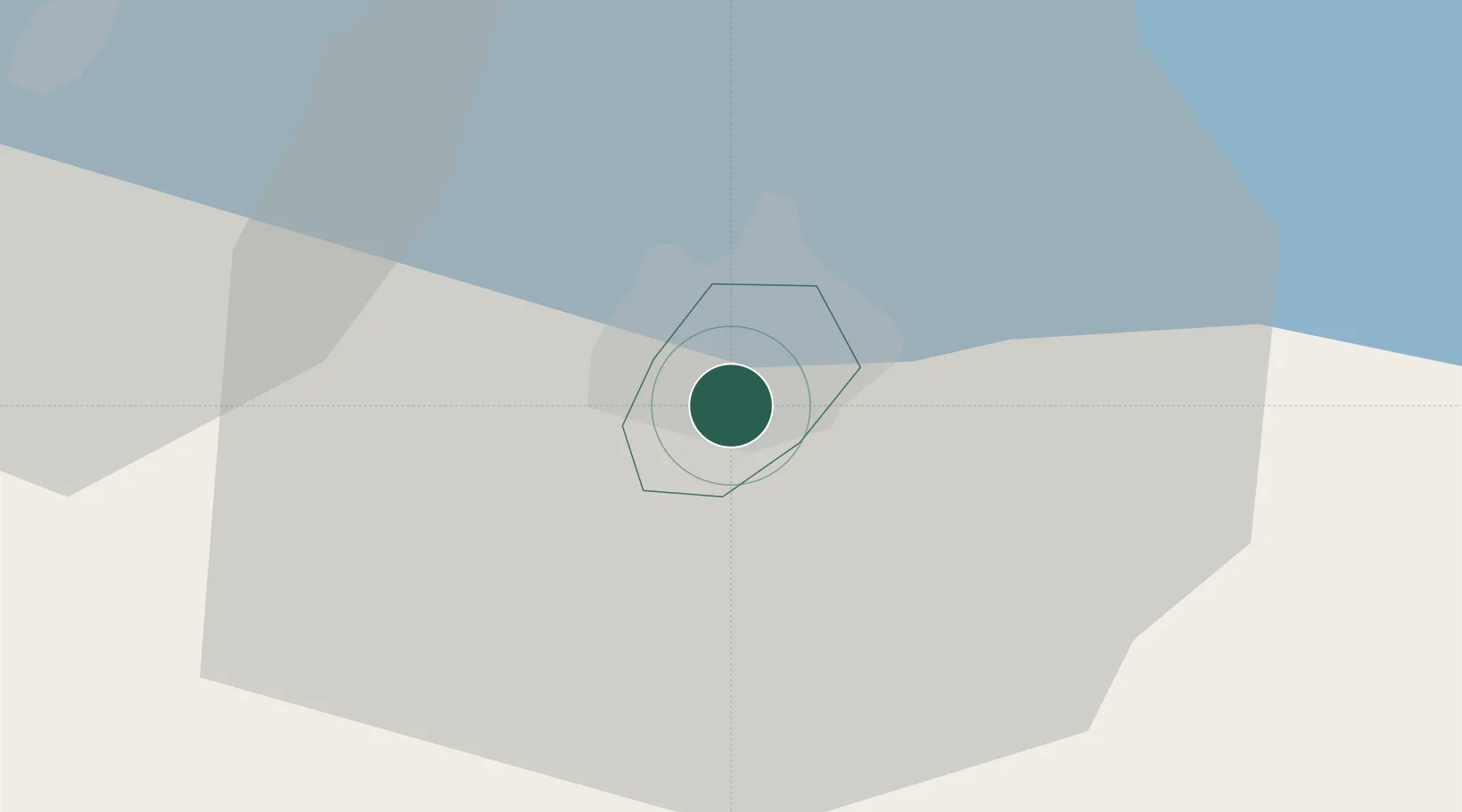
Location
Nearby Logistics Neighbours
Ports
- 1Batumi408 km
- 2Supsa Marine Terminal418 km
- 3Hopa423 km
- 4Rize492 km
- 5Sokhumi514 km
Airports
- 1Ganja International Airport8 km
- 2Dollyar Air Base41 km
- 3Bolshiye Shiraki Air Base79 km
- 4Khojaly Airport93 km
- 5Zaqatala International Airport103 km
Trade Zones
- 1Mingachevir Industrial Park61 km
- 2Mingachevir High Technologies Park62 km
- 3Ecos Free Economic Zone136 km
- 4Jrvezh Engineering City158 km
- 5Alliance Free Zone166 km
DatabookThe Record of Consolidated Knowledge
Azerbaijan beyond logistics?