Specialized Zone · Armenia
Gyumri Eurasian Logistic Park Under Development
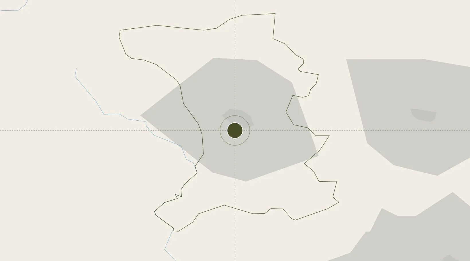
40.7591°, 43.8382°
30 ha
Zone area
208.1 km
Nearest port
2.0 km
Nearest airport
Gateway access
Zone profile
Zone type
Specialized Zone
Specialization
Manufacturing
Region
Shirak
Status
Under Development
Management
Public-Private Partnership
Operator
FEZ Eurasian Logistic Park Ltd.
Legal framework
Law Of The Republic of Armenia On Free Economic Zones: Adopted on May 25, 2011
Location
Nearby Logistics Neighbours
Ports
- 1Batumi208 km
- 2Hopa217 km
- 3Supsa Marine Terminal231 km
- 4Rize281 km
- 5Sokhumi342 km
Airports
- 1Shirak International Airport2 km
- 2Kars Airport65 km
- 3Zvartnots International Airport83 km
- 4Iğdır Airport87 km
- 5Erebuni Airport89 km
Cities
- 1Aragatsotn63 km
- 2Armavir69 km
- 3Dmanisi75 km
- 4Akhalkalaki78 km
- 5Hrazdan82 km
Trade Zones
- 1Ecos Free Economic Zone80 km
- 2Meridian Free Economic Zone83 km
- 3Alliance Free Zone84 km
- 4Jrvezh Engineering City88 km
- 5Tbilisi Free Industrial Zone145 km
DatabookThe Record of Consolidated Knowledge
Armenia beyond logistics?